Annaburg, municipality of Germany
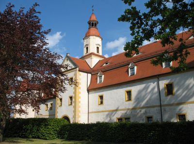
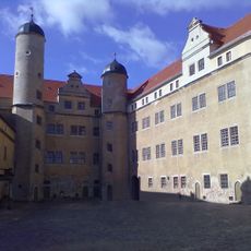
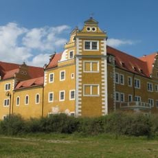
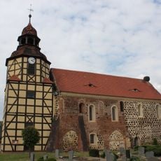
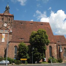
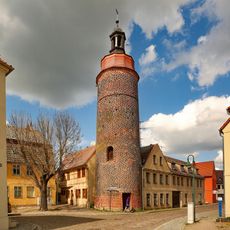
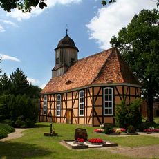
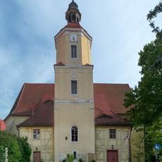
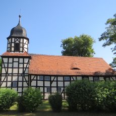
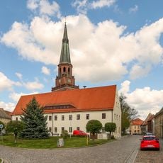
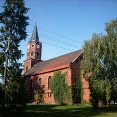
Annaburg is a small town in the Wittenberg region with a mix of old and modern buildings, many of which are well maintained. It has quiet streets, a central market square with a fountain, surrounded by parks, and the castle that bears its name sits in a landscape of fields and forests.
The town's history began in the 13th century with the construction of a hunting lodge, originally called Lochau. In the early 1500s, Frederick the Wise, a reform supporter, ordered the construction of a large new castle, with painter Lucas Cranach the Elder helping with its design.
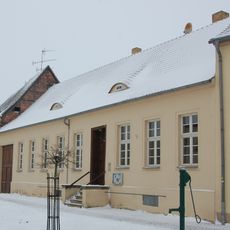
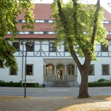
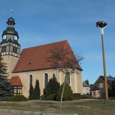
The town takes its name from Anna, a Saxon electress whose memory the place still honors today. Walking through the streets and around the market square, you see timber-framed houses that show how people lived here across the centuries.
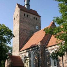
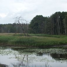
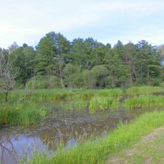
The castle and several museums including the Porzellaneum offer interesting insights, while the Annaburger Heide with its paths invites walking and cycling. Proximity to the Elbe cycle path makes it easy to explore the region by bike or reach nearby camping sites and lakes.
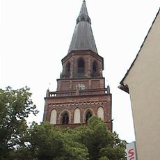
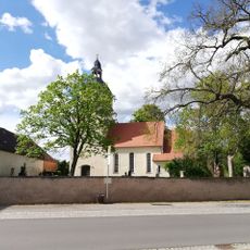
Michael Stifel, a 16th-century mathematician, made a famous miscalculation and predicted the end of the world, which did not happen. His name lives on in Annaburg's market square through a fountain that recalls this historical wrong prediction.
The community of curious travelers
AroundUs brings together thousands of curated places, local tips, and hidden gems, enriched daily by 60,000 contributors worldwide.