
Warnkenhagen, municipality of Germany
Location: Rostock District
Elevation above the sea: 45 m
Website: http://amt-mecklenburgische-schweiz.de
GPS coordinates: 53.84000,12.44722
Latest update: April 15, 2025 16:32
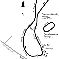
Teterower Bergring
8.5 km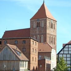
St. Peter und Paul
11.2 km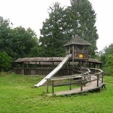
Burgwallinsel
11.3 km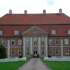
Schloss Prebberede
8.2 km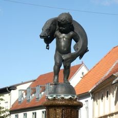
Hechtbrunnen Teterow
11.2 km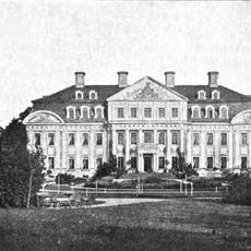
Gut Diekhof
5.1 km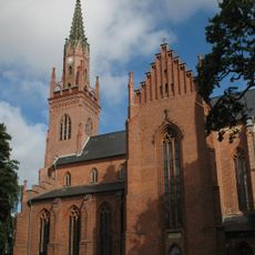
Church in Schlieffenberg
4.9 km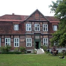
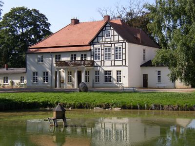
Herrenhaus Schwiessel
2.8 km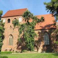
Church in Wattmannshagen
7.6 km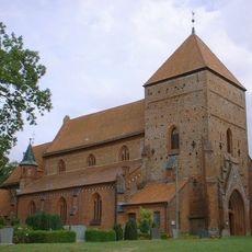
Dorfkirche Belitz
7.1 km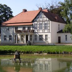
Herrenhaus Tellow
4.4 km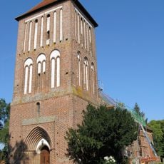
Church in Warnkenhagen
454 m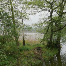
Binsenbrink im Teterower See
11 km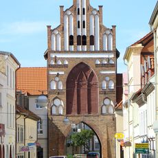
Rostocker Tor
11 km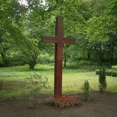
Friedhof St. Georg
11.6 km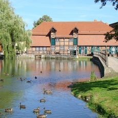
Stadtmühle Teterow
11.1 km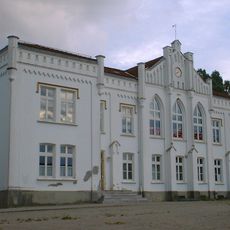
Schulkamp
10.9 km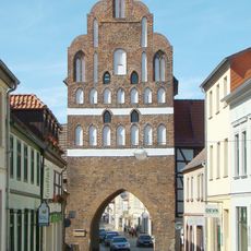
Malchiner Tor
11.4 km
Teterower Heidberge
8 km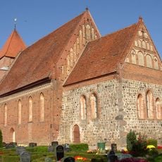
Dorfkirche Jördenstorf
11.8 km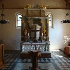
Dorfkirche Levitzow
9.2 km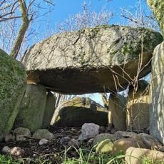
Großsteingrab Plaaz
6.3 km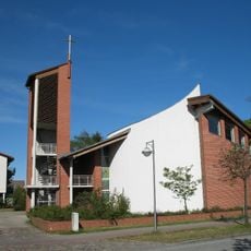
St. Petrus
11.6 km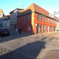
Warener Straße 14
11.3 km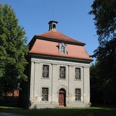
Schlosskapelle Diekhof
5.1 km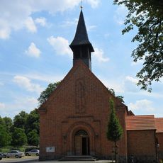
Heilige Familie
4.5 km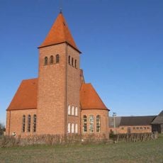
Unbefleckte Empfängnis Mariens
9.6 km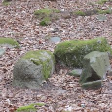
Steinkiste Hohes Holz
10.2 kmReviews
Visited this place? Tap the stars to rate it and share your experience / photos with the community! Try now! You can cancel it anytime.
Discover hidden gems everywhere you go!
From secret cafés to breathtaking viewpoints, skip the crowded tourist spots and find places that match your style. Our app makes it easy with voice search, smart filtering, route optimization, and insider tips from travelers worldwide. Download now for the complete mobile experience.

A unique approach to discovering new places❞
— Le Figaro
All the places worth exploring❞
— France Info
A tailor-made excursion in just a few clicks❞
— 20 Minutes