
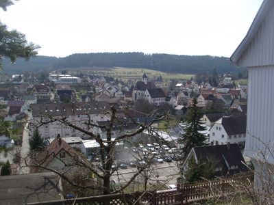
Rohrdorf, municipality in Baden-Württemberg, Germany
Location: Calw District
Location: Nagold VVG
Elevation above the sea: 418 m
Shares border with: Ebhausen, Nagold, Haiterbach, Altensteig
Website: http://gemeinde-rohrdorf.de
GPS coordinates: 48.56889,8.69444
Latest update: March 6, 2025 12:46
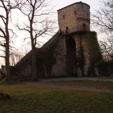
Hohennagold Castle
2.4 km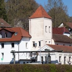
Wasserkraftwerk Nagold
2.4 km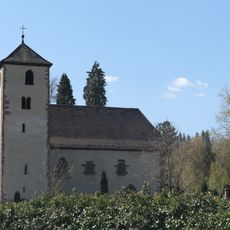
Remigiuskirche
3.1 km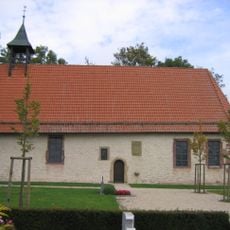
Londorfer Kapelle
6.1 km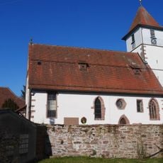
Remigiuskirche
6.6 km
Evangelische Stadtkirche (Altensteig)
6.9 km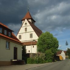
Georgskirche
4.2 km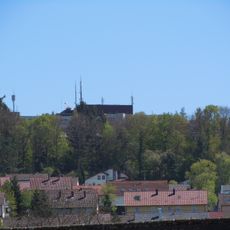
Teufels Hirnschale
3.7 km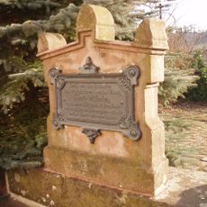
Königsbank
6.9 km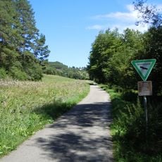
Mindersbacher Tal
2 km
Egenhäuser Kapf mit Bömbachtal
4.6 km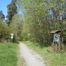
Ziegelberg
4.6 km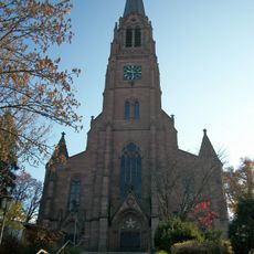
Evangelische Stadtkirche Nagold
3 km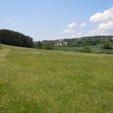
Haiterbacher Heckengäu (6 Teilgebiete)
6.9 km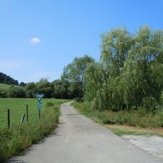
Waldach- und Haiterbachtal
3.7 km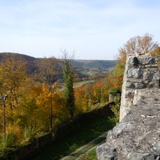
Heiligkreuz und Schloßberg
2.4 km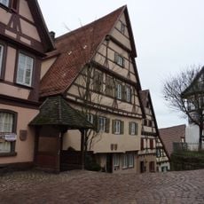
Blumenstraße 1
7 km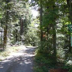
Staufen
1.3 km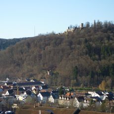
Nagolder Heckengäu
3.3 km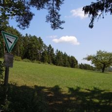
Oberer Gründel
6 km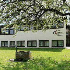
Friedenskirche
2.9 km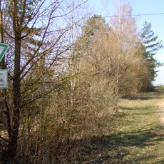
Nördlicher Teil des Kühlenberges
5.2 km
Friedenseiche vom Jahr 1871 (Nr. 147)
2.2 km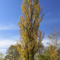
3 Eisberg-Pappeln (Nr. 327)
3.5 km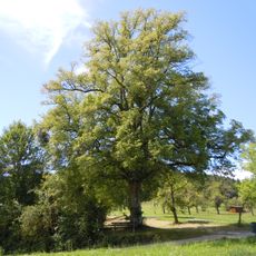
1 Linde (Nr. 145)
598 m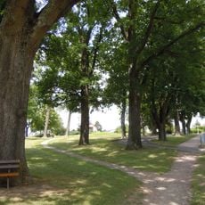
Egenhauser Eichenhain
5.8 km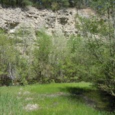
Mittleres Bergle (Nr. 337)
4.5 km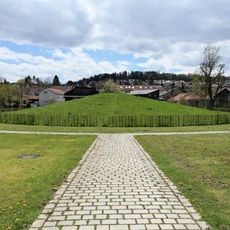
Krautbühl
2.9 kmVisited this place? Tap the stars to rate it and share your experience / photos with the community! Try now! You can cancel it anytime.
Discover hidden gems everywhere you go!
From secret cafés to breathtaking viewpoints, skip the crowded tourist spots and find places that match your style. Our app makes it easy with voice search, smart filtering, route optimization, and insider tips from travelers worldwide. Download now for the complete mobile experience.

A unique approach to discovering new places❞
— Le Figaro
All the places worth exploring❞
— France Info
A tailor-made excursion in just a few clicks❞
— 20 Minutes