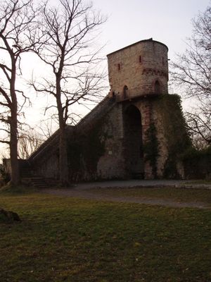
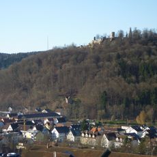
Hohennagold Castle, Medieval castle ruins on Schlossberg hill, Nagold, Germany.
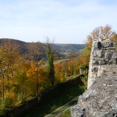
Hohennagold is castle ruins atop Schlossberg hill near Nagold with a distinctive keep, curtain walls, and multiple towers. The fortress spreads across the hilltop with an outer defensive area that connects half-round and angular defensive structures.
The castle was founded around 1100 by the Counts of Nagold and came under Hohenberg control in the 13th century before Württemberg took it in 1364. Seventeenth-century warfare left deep scars when Bavarian troops bombarded the fortress in 1645.
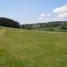
The ruins reveal how noble families displayed their authority across the region and controlled the landscape around them. The arrangement of towers and walls follows medieval defensive principles that remain visible in the structure today.
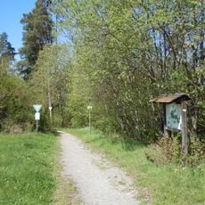
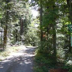
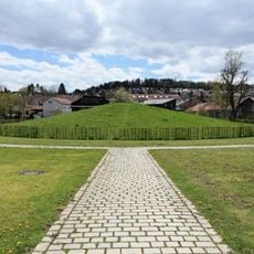
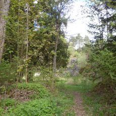
The climb from Nagold town center follows marked hiking paths that are fairly steep and take roughly half an hour. Good footwear is important since the paths go through woodland trails and include some steps.
Despite destruction during various conflicts, the basic structures remain surprisingly intact and clearly show how the fortress once looked. The stone construction with its thick walls helped the core of the stronghold survive for centuries even after bombardments and neglect.
The community of curious travelers
AroundUs brings together thousands of curated places, local tips, and hidden gems, enriched daily by 60,000 contributors worldwide.