Nagold, Administrative center in Baden-Württemberg, Germany.
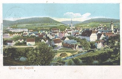
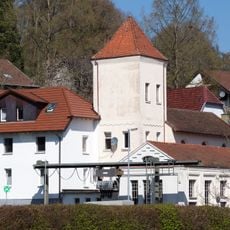
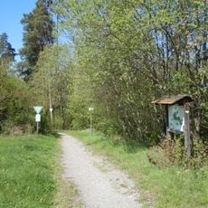
Nagold is a medium-sized administrative center in the Calw District, located in a valley surrounded by forested hills of the Northern Black Forest. The River Nagold flows through the city center, dividing it into distinct sections with the town nestled along its banks.
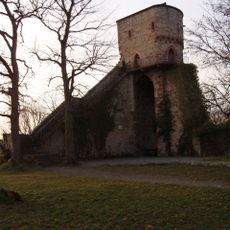
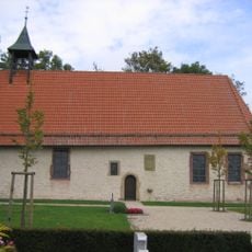
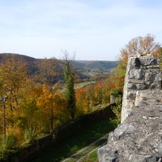
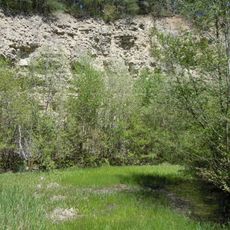
Two Roman settlements developed in the Nagold Basin during ancient times, leaving archaeological traces that were discovered in later periods. The town grew into an important administrative center during the Middle Ages, shaped by its proximity to the medieval castle ruins overlooking the valley.
The city maintains active partnerships with towns in France and Slovenia, which bring regular cultural exchanges and community celebrations throughout the year.
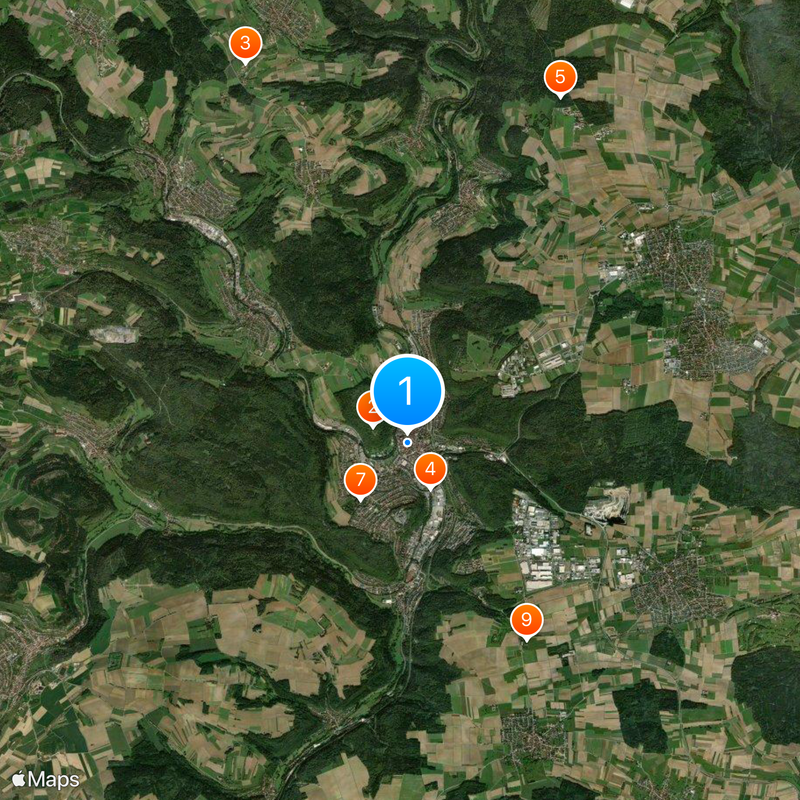
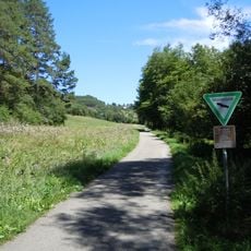
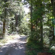
The town is easy to explore on foot, with the compact center and river providing natural orientation points throughout the year. The surrounding hills offer good walking opportunities, and local transport connections make it convenient to reach nearby areas and attractions.
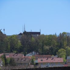
The Hohennagold Castle ruins sit on a hilltop overlooking the town and are visible from many spots, yet few visitors realize how central they were to the area's past. The fortress once symbolized regional power and continues to define the character of the surrounding landscape today.
The community of curious travelers
AroundUs brings together thousands of curated places, local tips, and hidden gems, enriched daily by 60,000 contributors worldwide.