
Lemgow, municipality of Germany
Location: Samtgemeinde Lüchow (Wendland)
Location: Lüchow-Dannenberg District
Elevation above the sea: 24 m
Shares border with: Trebel, Woltersdorf, Prezelle
Website: http://luechow.de
GPS coordinates: 52.91667,11.28333
Latest update: March 3, 2025 14:33
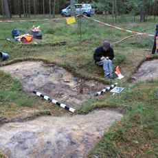
Archaeological excavation of the Republik Freies Wendland
9.3 km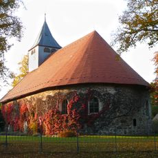
Feldsteinkirche Trebel
9 km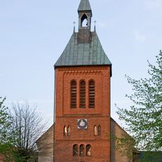
Church of Prezelle
9.5 km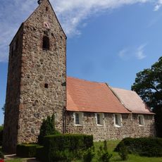
Dorfkirche Groß Chüden
7.8 km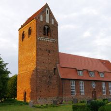
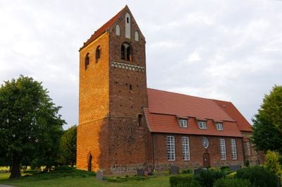
Hohe Kirche, Lemgow
1.5 km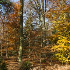
Planken und Schletauer Post
8.5 km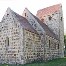
Protestant Church Binde
9.7 km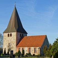
Feldkirche Woltersdorf
4.7 km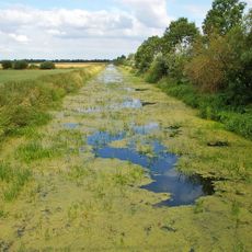
Lüchower Landgrabenniederung
4.5 km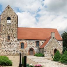
Dorfkirche Kaulitz
8.3 km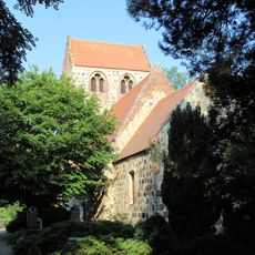
Dorfkirche Kläden
11.6 km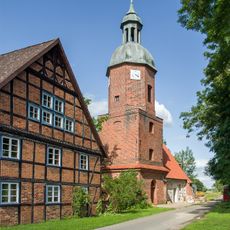
Chapel of Prezier
2.6 km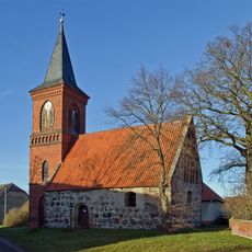
Kapelle St. Petri
3 km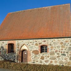
Kapelle Bockleben
4.1 km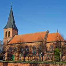
Church of Lanze
5.8 km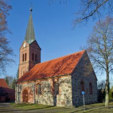
Chapel of Schweskau
504 m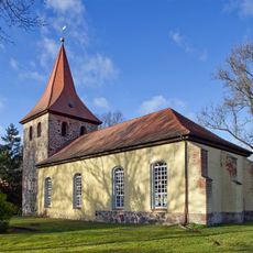
Protestant Church Rebenstorf
5.2 km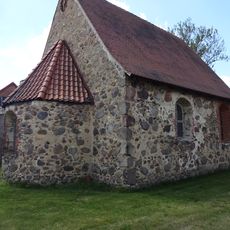
Dorfkirche Jeebel
5.8 km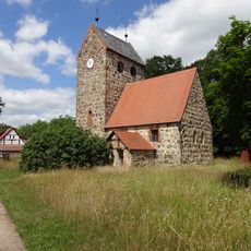
Dorfkirche Ritzleben
9.1 km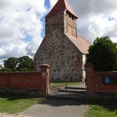
Dorfkirche Kraatz
11.7 km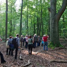
Eichenmischwald Lisei
1.7 km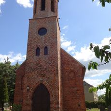
Dorfkirche Riebau
6.7 km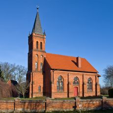
Church of Lomitz
8.3 km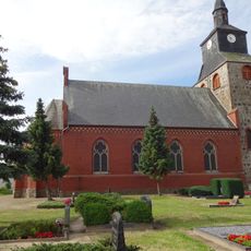
Dorfkirche Mechau
6.7 km
Nemitzer Heide
8.8 km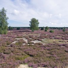
Nemitzer Heide
9 km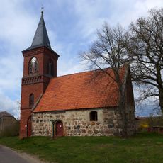
St. Petri, Volzendorf
3 km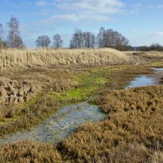
Landgraben- und Dummeniederung
6 kmVisited this place? Tap the stars to rate it and share your experience / photos with the community! Try now! You can cancel it anytime.
Discover hidden gems everywhere you go!
From secret cafés to breathtaking viewpoints, skip the crowded tourist spots and find places that match your style. Our app makes it easy with voice search, smart filtering, route optimization, and insider tips from travelers worldwide. Download now for the complete mobile experience.

A unique approach to discovering new places❞
— Le Figaro
All the places worth exploring❞
— France Info
A tailor-made excursion in just a few clicks❞
— 20 Minutes