Radbruch, municipality of Germany
Location: Lüneburg
Location: Bardowick
Elevation above the sea: 4 m
Website: http://bardowick.de
GPS coordinates: 53.31667,10.28333
Latest update: March 7, 2025 11:05
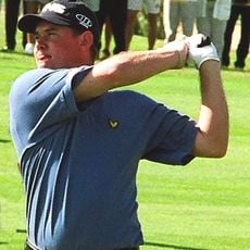
European Open
3.8 km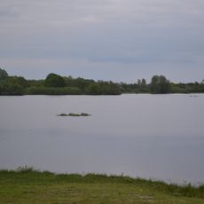
Rethmoorsee
2.3 km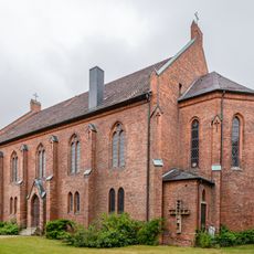
St. Marien (Handorf)
5.1 km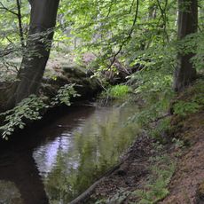
Hohes Holz mit Ketzheide und Gewässern
2.8 km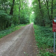
Birken-Eichenwald bei Sangenstedt
3.6 km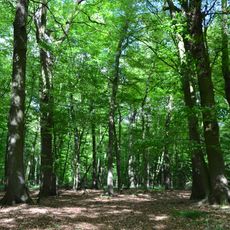
Laßbrook
7.8 km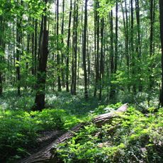
Dümpel an der Landwehr
6.7 km
Wittsaal
2.6 km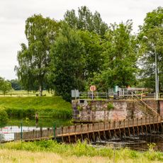
Fahrenholz lock
5.3 km
Hohes Holz
2.8 km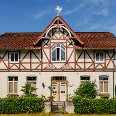
Hauptstraße 78 (Handorf)
4.8 km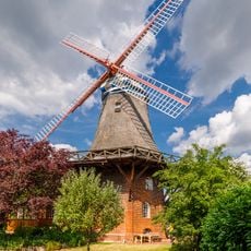
Smock mill (Handorf)
4.9 km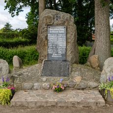
War memorial (Handorf)
5.1 km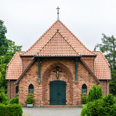
Cemetery chapel (Handorf)
5.1 km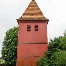
Bell tower (Handorf)
5.1 km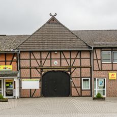
Hauptstraße 34 (Handorf)
5.1 km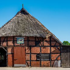
Bäckerstraße 9 (Handorf)
5.4 km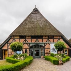
Residential building Hauptstraße 7 (Handorf)
5.2 km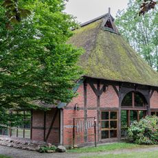
Marschwegel 7 (Handorf)
5.1 km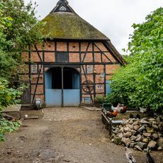
Dunkle Straße 2
5.2 km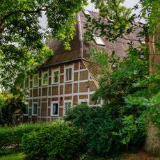
Rottorfer Weg 4
5 km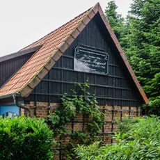
Barn Hauptstraße 7 (Handorf)
5.2 km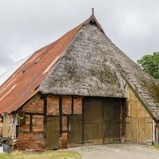
Hauptstraße 14
5.2 km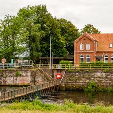
An der Ilmenau 8
5.3 km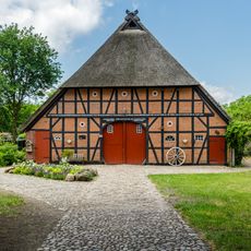
Bäckerstraße 10
5.3 km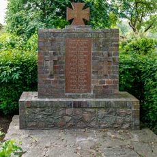
Fahrenholzer Straße
5.2 km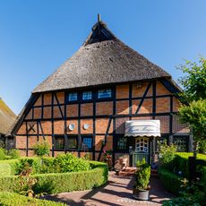
Hauptstraße 9 (Handorf)
5.2 km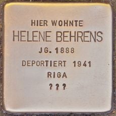
Stolperstein dedicated to Helene Behrens
6.9 kmVisited this place? Tap the stars to rate it and share your experience / photos with the community! Try now! You can cancel it anytime.
Discover hidden gems everywhere you go!
From secret cafés to breathtaking viewpoints, skip the crowded tourist spots and find places that match your style. Our app makes it easy with voice search, smart filtering, route optimization, and insider tips from travelers worldwide. Download now for the complete mobile experience.

A unique approach to discovering new places❞
— Le Figaro
All the places worth exploring❞
— France Info
A tailor-made excursion in just a few clicks❞
— 20 Minutes