
Nanzdietschweiler, municipality of Germany
Location: Oberes Glantal
Elevation above the sea: 237 m
Website: https://nanzdietschweiler.de
GPS coordinates: 49.44361,7.44056
Latest update: March 3, 2025 02:18
Eichelscheiderhof
8.1 km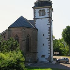
Remigiusberg
8.6 km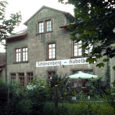
Schönenberg-Kübelberg railway station
6.4 km
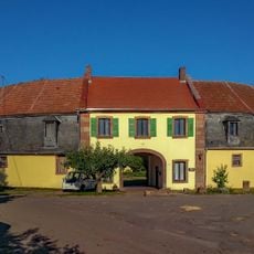
Burg Kübelberg
6.7 km
St. Philipp und Jakob
7.2 km
Schloss Pettersheim
7.6 km
Schachenwald
6.3 km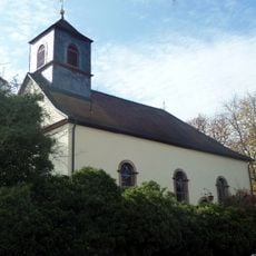
Unionskirche
7.9 km
Synagoge Brücken (Pfalz)
6 km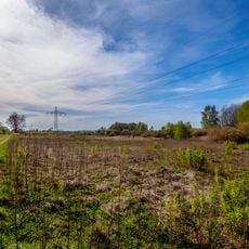
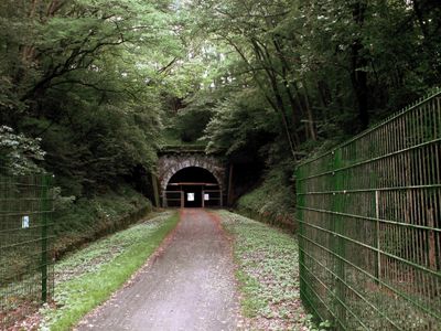
Schlangenbruch
5.5 km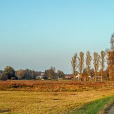
Wiesen westlich der Vogelbacher Mühle
7.3 km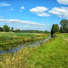
Glanniederung bei Elschbach
3.2 km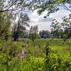
Westricher Moorniederung
6.4 km
Wiesen nördlich von Vogelbach
6.5 km
Naßwiese am Bahndamm
6.2 km
Schwarzbach
8.7 km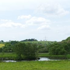
Heimerbrühl
1.5 km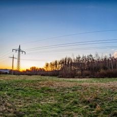
Spießwald und Streitwiese
5.9 km
Scheidelberger Woog
4.7 km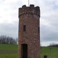
Wartturm
7.4 km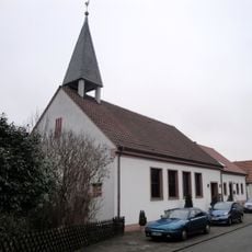
Evangelische Kirche
5.9 km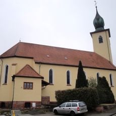
Katholische Kirche Hauptstuhl
5.9 km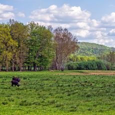
Landstuhler Bruch - Oberes Glantal
4.6 km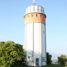
Henschtal Water Tower
5.3 km
Kaiserstraße 43
5.9 km
Kaiserstraße 21
6.1 km
Kaiserstraße 40
5.9 km
Kindertagesstätte Hauptstuhl
6 kmVisited this place? Tap the stars to rate it and share your experience / photos with the community! Try now! You can cancel it anytime.
Discover hidden gems everywhere you go!
From secret cafés to breathtaking viewpoints, skip the crowded tourist spots and find places that match your style. Our app makes it easy with voice search, smart filtering, route optimization, and insider tips from travelers worldwide. Download now for the complete mobile experience.

A unique approach to discovering new places❞
— Le Figaro
All the places worth exploring❞
— France Info
A tailor-made excursion in just a few clicks❞
— 20 Minutes