Westricher Moorniederung

Log in to your account

AroundUs is a community-driven map of interesting places, built by curious explorers like you. It grows with every review, story, and photo you share.
Connect to save your favorite spots, contribute locations, and create personalized routes.
Continue with Google
Continue with Apple
Continue with X
Continue with Facebook
Continue with email
By continuing, you accept our Terms and Conditions and our Privacy Policy
Create an account

Westricher Moorniederung

Add to collection
Map
Suggest a change
Share

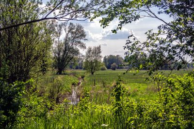
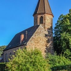
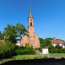
Westricher Moorniederung, Special Area of Conservation in Rhineland-Palatinate, Germany.

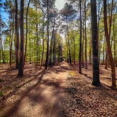
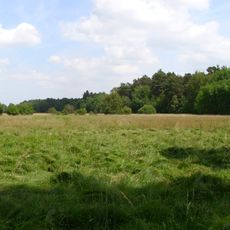
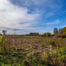
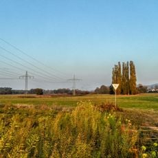
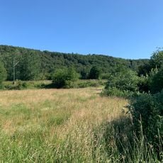
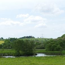
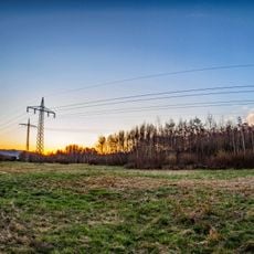
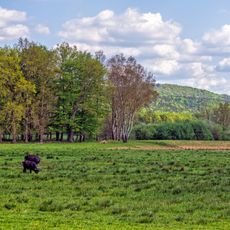
The Westricher Moorniederung is a conservation area spanning eleven municipalities across the Palatinate region, characterized by wet meadows, reed zones, and water-associated forests. Multiple streams and lakes throughout the site create diverse habitats for plants and wildlife.

In the early 1800s, this region was a difficult-to-reach moorland that underwent drainage and peat cutting to clear land for farming and timber production. Today it has recovered as a protected natural space where those past changes are being reversed.

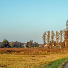
This conservation area draws birdwatchers and nature enthusiasts who come to observe migratory species passing through the wetlands with the seasons. The reed-lined waters and open marshes are valued by visitors seeking peaceful experiences in natural settings.

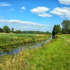
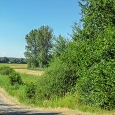
The area is accessible through marked hiking and cycling trails, with longer routes extending approximately 26 kilometers across the wetlands. Waterproof clothing and sturdy footwear are recommended, as the ground becomes saturated after rain.

This site preserves one of the few remaining intact moorland systems in the region, offering refuge for bird species that have become scarce elsewhere. Its meadow landscapes support specialized plants that thrive only in wet, nutrient-poor soils.

Location: Waldmohr

Location: Schönenberg-Kübelberg

Location: Bruchmühlbach-Miesau

Location: Hütschenhausen

Location: Hauptstuhl

Location: Ramstein-Miesenbach

Location: Landstuhl

Location: Kindsbach

Location: Weilerbach

Location: Kaiserslautern

Location: Rodenbach

Inception: 1998

GPS coordinates: 49.41963,7.52052

Latest update: December 14, 2025 20:24

Photos
Reviews

Visited this place? Tap the stars to rate it and share your experience / photos with the community! Try now! You can cancel it anytime.

« Westricher Moorniederung - Special Area of Conservation in Rhineland-Palatinate, Germany » is provided by Around Us (aroundus.com). Images and texts are derived from Wikimedia project under a Creative Commons license. You are allowed to copy, distribute, and modify copies of this page, under the conditions set by the license, as long as this note is clearly visible.

Discover hidden gems everywhere you go!

From secret cafés to breathtaking viewpoints, skip the crowded tourist spots and find places that match your style. Our app makes it easy with voice search, smart filtering, route optimization, and insider tips from travelers worldwide. Download now for the complete mobile experience.

Around Us App Screenshot

A unique approach to discovering new places

Le Figaro

All the places worth exploring

France Info

A tailor-made excursion in just a few clicks

20 Minutes