
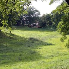
Randowtal, municipality in Brandenburg state, Germany
Location: Uckermark District
Elevation above the sea: 55 m
Website: https://amt-gramzow.de/verzeichnis/objekt.php?mandat=27364
GPS coordinates: 53.29778,14.03306
Latest update: March 3, 2025 02:43

Burgwall Drense
3.8 km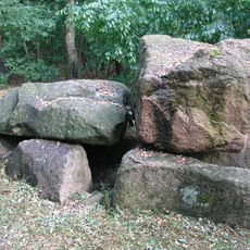
Großsteingrab Brüssow-Hammelstall
10.4 km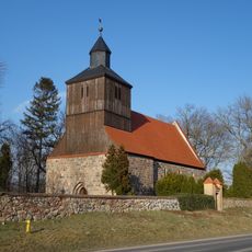
Village church Kleptow
7.9 km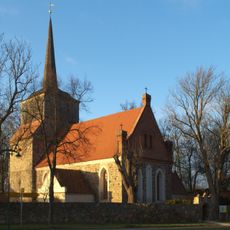
Kirche
9.7 km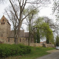
Village church Falkenwalde
3.8 km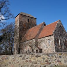
Village church Lützlow
6.2 km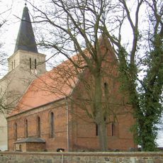
Dorfkirche Hohengüstow
7.4 km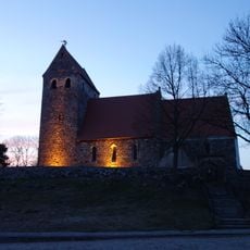
Village church Schwaneberg (Randowtal)
6.3 km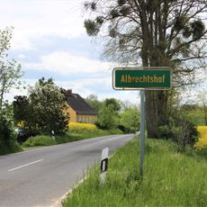
Albrechtshof
7.4 km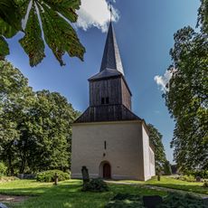
Village church Carmzow
9.9 km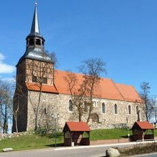
Church in Schmölln (Randowtal)
4.4 km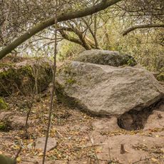
Großsteingrab Carmzow
7.9 km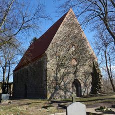
Village church Ziemkendorf
2.7 km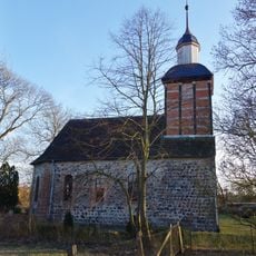
Village church Trampe
9.8 km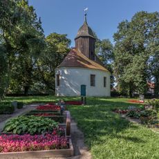
Church in Grünberg
9.8 km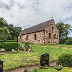
Church in Grenz
4.4 km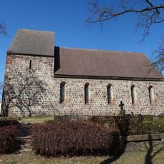
Church in Grünow
5.9 km
Eickstedt Ausbau
2.1 km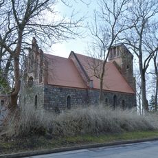
Village church Weselitz
5.9 km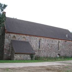
Church in Eickstedt
505 m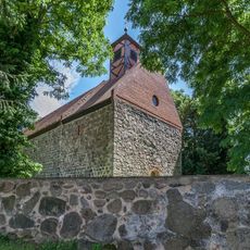
Church in Wollin
3.4 km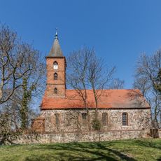
Church in Wallmow
6.1 km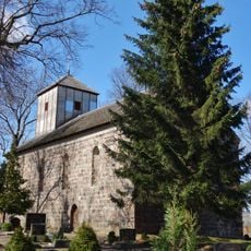
Village church Damme
1.4 km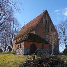
Village church Drense
3.8 km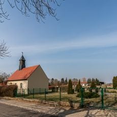
Dreesch church
5.1 km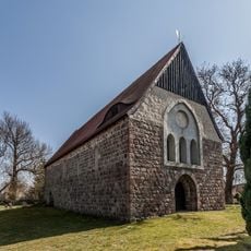
Church in Cremzow
6.5 km
Church in Battin
9.9 km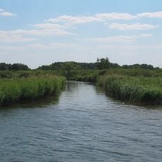
Uckerniederung
4.8 kmVisited this place? Tap the stars to rate it and share your experience / photos with the community! Try now! You can cancel it anytime.
Discover hidden gems everywhere you go!
From secret cafés to breathtaking viewpoints, skip the crowded tourist spots and find places that match your style. Our app makes it easy with voice search, smart filtering, route optimization, and insider tips from travelers worldwide. Download now for the complete mobile experience.

A unique approach to discovering new places❞
— Le Figaro
All the places worth exploring❞
— France Info
A tailor-made excursion in just a few clicks❞
— 20 Minutes