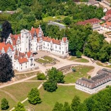
Uckermark District, Rural administrative district in northeastern Brandenburg, Germany
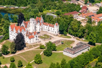
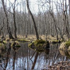
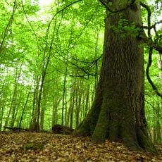
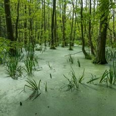
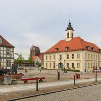
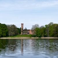
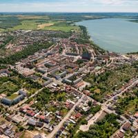
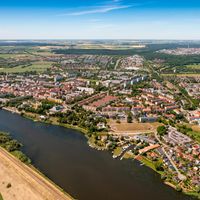
The Uckermark District is a rural administrative area in northeastern Brandenburg, stretching between the Oder river in the east and neighboring counties to the west. Around six hundred lakes dot the gently rolling countryside, which is shaped by meadows, forests and small villages.
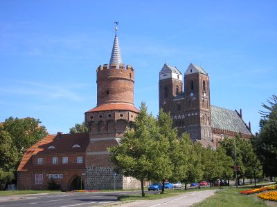
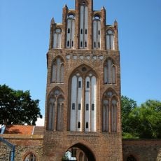
This district was formed in 1993 when the Angermünde, Prenzlau and Templin counties merged after reunification. Settlement history goes back to the Slavic Ukranen people who gave the area its name.
This region owes its name to the Slavic Ukranen people who once lived along the Uecker river. The open grain fields still shape daily life and local identity, connecting present-day farming families to centuries of rural tradition.
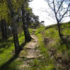
Walking and cycling paths connect the small towns and lead through Lower Oder Valley National Park. Many routes follow flat riverside trails and offer good conditions for multi-day tours through open countryside.
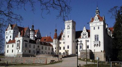
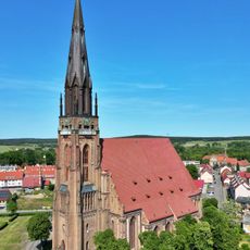
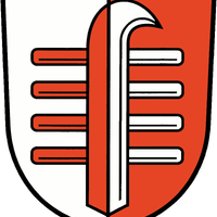
The district coat of arms combines elements from Prenzlau and Angermünde town churches with the Pomeranian griffin and Brandenburg eagle. This combination reflects the overlapping historical territories that shaped the region over time.
Location: Brandenburg
Inception: 1993
Capital city: Prenzlau
Elevation above the sea: 20 m
Shares border with: Mecklenburgische Seenplatte District, Vorpommern-Greifswald District, Barnim District, Oberhavel District
Website: https://uckermark.de
GPS coordinates: 53.25000,13.86667
Latest update: December 13, 2025 17:38
Schloss Boitzenburg
17.6 kmHohenlychen Sanatorium
36.4 km
Schorfheide-Chorin Biosphere Reserve
41.8 km
Mildenberg Brick Work Park
44.5 km
Stargard Castle
46 km
Special Weapons Depot Himmelpfort
39.8 km
Helpt Hills
31.4 km
Marienkirche
52.7 km
St. Mary`s church
7.1 km
Heilige Hallen
34.1 km
Church of St. Mary in Chojna
49.4 km
Grumsiner Forst/Redernswalde
27.9 km
Burg Stolpe
34.3 km
Mesolithischer Bestattungsplatz von Groß Fredenwalde
14.8 km
NaturTherme Templin
28.1 kmHaus Fichtengrund
30 km
Haus der Kultur und Bildung
52.9 km
Pulverturm
28.2 km
Pasewalk railway station
30.6 km
Schwedt Palace
35.7 km
Hans-Fallada-Haus
28.7 km
Helpterberg radio tower
31.4 km
Angermünde railway station
27.5 km
Kloster Götschendorf
21.9 kmMarktplatz
52.8 km
Uckermärkische Bühnen Schwedt
35.7 km
City walls of Neubrandenburg
52.8 km
Treptower Tor
53.1 kmVisited this place? Tap the stars to rate it and share your experience / photos with the community! Try now! You can cancel it anytime.
Discover hidden gems everywhere you go!
From secret cafés to breathtaking viewpoints, skip the crowded tourist spots and find places that match your style. Our app makes it easy with voice search, smart filtering, route optimization, and insider tips from travelers worldwide. Download now for the complete mobile experience.
A unique approach to discovering new places❞
— Le Figaro
All the places worth exploring❞
— France Info
A tailor-made excursion in just a few clicks❞
— 20 Minutes