
Märkisch Linden, municipality of Germany
Location: Ostprignitz-Ruppin District
Elevation above the sea: 44 m
Website: http://amt-temnitz.de/ris/instanz_3
GPS coordinates: 52.91667,12.69972
Latest update: March 7, 2025 05:55

Bahnhof Neuruppin
6.8 km
Fontanehaus
7.2 km
Theodor-Fontane-Denkmal
6.8 km
Ruppiner Kliniken
6.7 km
Herz-Jesu-Kirche Neuruppin
6.6 km
Village church Kerzlin
5.1 km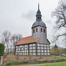
Village church Kantow
6 km
Burgwall Wildberg (Temnitztal)
5.8 km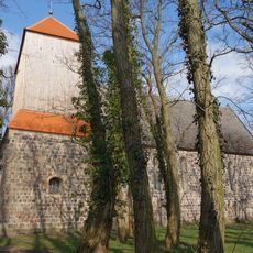
Village church Bechlin
4.3 km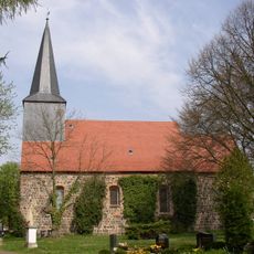
Village church Dabergotz
2.3 km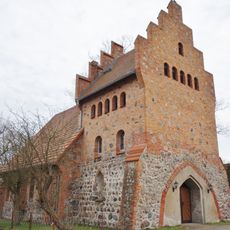
Village church Katerbow
8.5 km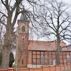
Village church Lüchfeld
5 km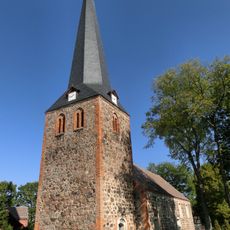
Village church Wildberg (Temnitztal)
6.2 km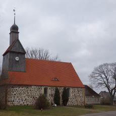
Village church Lögow
7.3 km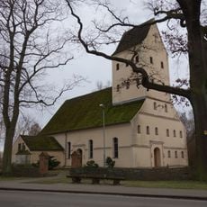
Village church Walsleben
3.3 km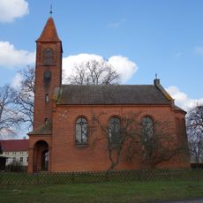
Village church Darritz
3.2 km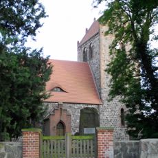
Village church Gottberg
2.3 km
Kirchturm Werder
412 m
Museum Neuruppin
7 km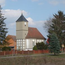
Village church Storbeck
7.1 km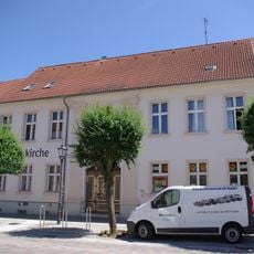
Christuskirche Neuruppin
7.1 km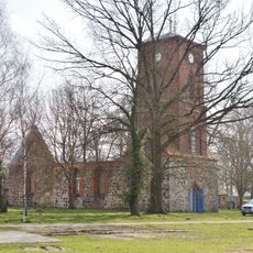
Village church Kränzlin
3.4 km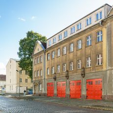
Fire station Schinkelstraße 23
7.1 km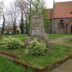
Gottberg war memorial
2.3 km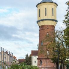
Wasserturm Neuruppin
6.5 km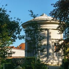
Apollotempel
6.9 km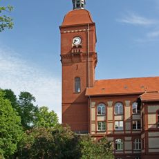
Wasserturm Klinikum Neuruppin
6.7 km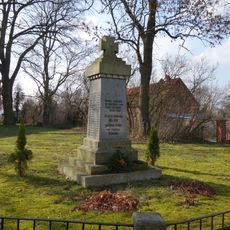
World War I memorial Bechlin (Neuruppin)
4.3 kmVisited this place? Tap the stars to rate it and share your experience / photos with the community! Try now! You can cancel it anytime.
Discover hidden gems everywhere you go!
From secret cafés to breathtaking viewpoints, skip the crowded tourist spots and find places that match your style. Our app makes it easy with voice search, smart filtering, route optimization, and insider tips from travelers worldwide. Download now for the complete mobile experience.

A unique approach to discovering new places❞
— Le Figaro
All the places worth exploring❞
— France Info
A tailor-made excursion in just a few clicks❞
— 20 Minutes