Enable Location

We need your location to show you interesting places around you

Discover nearby places

Find interesting locations and hidden gems around you

Precise directions

Get accurate directions and distances to places

Your location is never shared with other users. It's only used when you tap the location button.

Ostprignitz-Ruppin District

Log in to your account

Start exploring — it's free

Trusted by 62,555 travelers worldwide

Continue with Google
Continue with Apple
or

We will send you a code to connect

By continuing, you accept our Terms and Conditions and our Privacy Policy

Check your inbox

We've sent a pincode in your inbox. Please enter the code below.

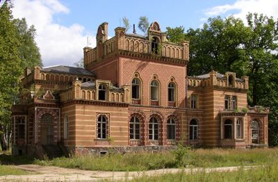
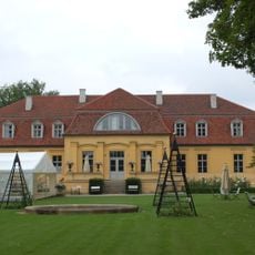
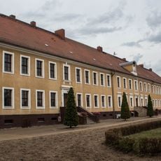
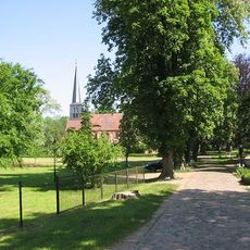
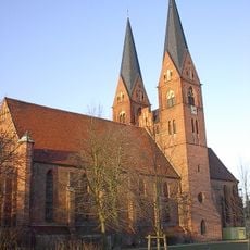
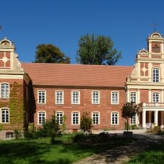
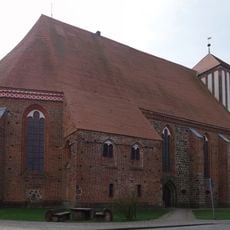
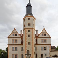
Ostprignitz-Ruppin District, Administrative district in Brandenburg, Germany

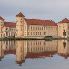
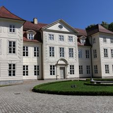
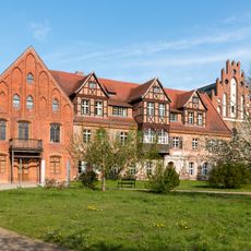
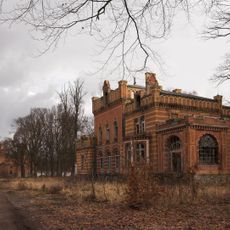
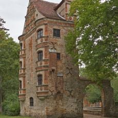
Ostprignitz-Ruppin is a rural district in northwestern Brandenburg that spreads across plains, dense forests, rivers, and lakes. Neuruppin serves as the main administrative center of the area.

The district was formed in 1993 through the merger of three former administrative divisions: Kyritz, Neuruppin, and Wittstock. This consolidation brought together the historical regions of Ostprignitz and Ruppin.

The district coat of arms displays an eagle from the Counts of Arnstein, a fleur-de-lis representing the Counts von Plotho, and a mitre symbolizing Wittstock.

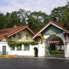
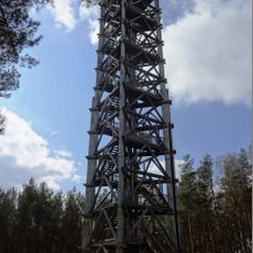
Tourism information centers are found throughout the district to help visitors plan hiking trips, cycling routes, and find accommodations. The main office in Neuruppin is a good starting point for exploring the region.

The district experienced its highest population of 157,875 residents in 1946 following World War II, compared to the current population of approximately 99,871.

The community of curious travelers

AroundUs brings together thousands of curated places, local tips, and hidden gems, enriched daily by 60,000 contributors worldwide.

Start exploring
Location
Inception
1993
Capital city
Neuruppin
Elevation above the sea
53 m
Shares border with
Havelland District, Prignitz District, Oberhavel District, Mecklenburgische Seenplatte District, Stendal District, Ludwigslust-Parchim District
GPS coordinates
52.96667,12.66667
Latest update
December 17, 2025 09:38
« Ostprignitz-Ruppin District - Administrative district in Brandenburg, Germany » is provided by Around Us (aroundus.com). Images and texts are derived from Wikimedia project under a Creative Commons license. You are allowed to copy, distribute, and modify copies of this page, under the conditions set by the license, as long as this note is clearly visible.

Discover hidden gems everywhere you go!

From secret cafés to breathtaking viewpoints, skip the crowded tourist spots and find places that match your style. Our app makes it easy with voice search, smart filtering, route optimization, and insider tips from travelers worldwide. Download now for the complete mobile experience.

Around Us App Screenshot

A unique approach to discovering new places

Le Figaro

All the places worth exploring

France Info

A tailor-made excursion in just a few clicks

20 Minutes

Around Us
Travel Guide & Maps
Download

Send to your phone

QR Code
1

Open the camera app on your mobile.

2

Point at the QR code with your camera. A notification will appear.

3

Tap the notification to open the link.