
Kakenstorf, municipality of Germany
Location: Tostedt
Location: Harburg
Elevation above the sea: 49 m
Shares border with: Hollenstedt, Wenzendorf, Dohren
Website: http://kakenstorf.de
GPS coordinates: 53.31667,9.76667
Latest update: March 6, 2025 18:06
Brunsberg
4.7 km
Burgwall Hollenstedt
5.2 km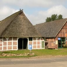
Museumsbauernhof Wennerstorf
5 km
Local Court Tostedt
5.6 km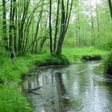
Estetal
3.8 km
Naturschutzgebiet Brunsberg
4.9 km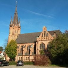
Johanneskirche
5.4 km
Cist in the Feldmark Rade
7.7 km
St. Andreas
6.5 km
Glüsinger Bruch und Osterbruch
5.2 km
Großsteingrab Wenzendorf
5.7 km
Großsteingrab Steinbeck
6.3 km
Springmoor bei Hollenstedt
7.9 km
Schmokbach
3.1 km
Kampener Bach
7.9 km
Flidder-Berg
6.3 km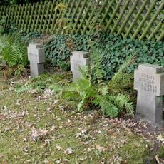
Alter Friedhof
7.2 km
Samtgemeindebücherei Tostedt
5.8 km
Büsenbachtal
7.3 km
Estetal und Umgebung
5 km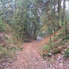
Lohbergen, Höllental und angrenzende Flächen
4.9 km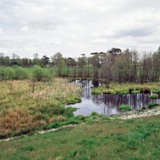
Este, Bötersheimer Heide, Glüsinger Bruch und Osterbruch
3.5 km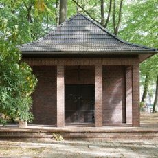
Mausoleum of Richard Schmidt
7.2 km
Reihengrabanlage mit Gräbern von ausländischen Zwangsarbeitern und Zivilopfern
7.2 km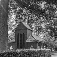
Cemetery chapel
7.2 km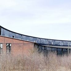
Roundhouse and railway turntable
6.6 km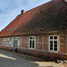
Samtgemeindebücherei Hollenstedt
6.5 km
Gut Bötersheim
1.4 kmVisited this place? Tap the stars to rate it and share your experience / photos with the community! Try now! You can cancel it anytime.
Discover hidden gems everywhere you go!
From secret cafés to breathtaking viewpoints, skip the crowded tourist spots and find places that match your style. Our app makes it easy with voice search, smart filtering, route optimization, and insider tips from travelers worldwide. Download now for the complete mobile experience.

A unique approach to discovering new places❞
— Le Figaro
All the places worth exploring❞
— France Info
A tailor-made excursion in just a few clicks❞
— 20 Minutes