Steingaden, municipality of Germany
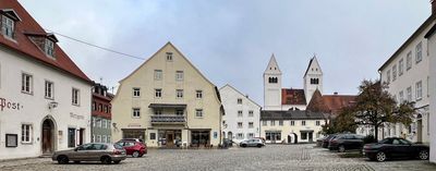
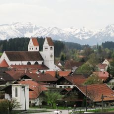
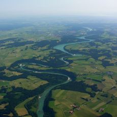
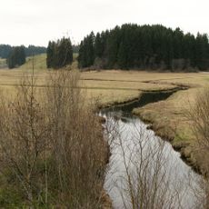
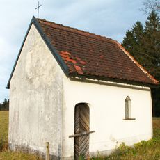
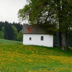
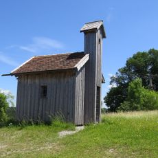
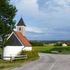
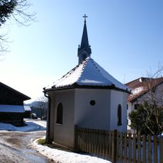
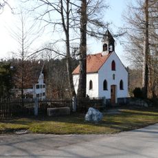
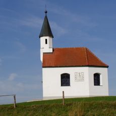
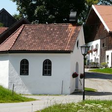
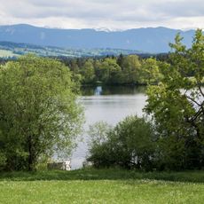
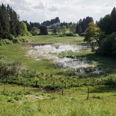
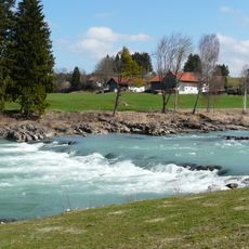
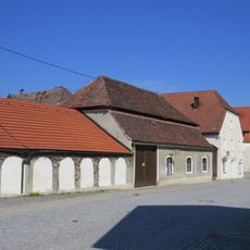
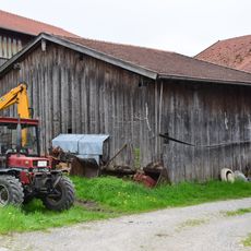
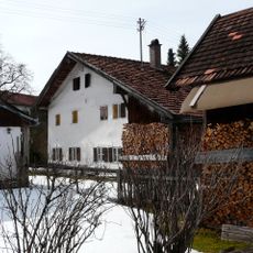
Steingaden is a small municipality in southern Bavaria at the foot of the Alps, surrounded by rolling hills and farmland. The village consists of quiet streets, old stone and wood buildings, farms, and small shops that serve both residents and visitors.
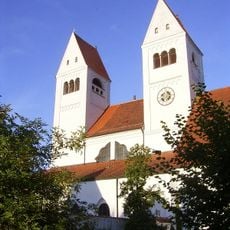
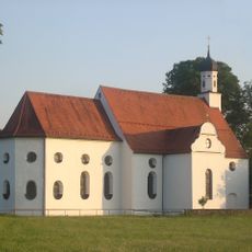
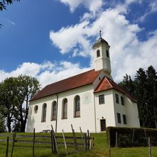
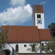
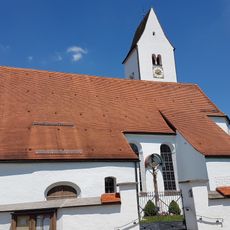
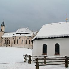
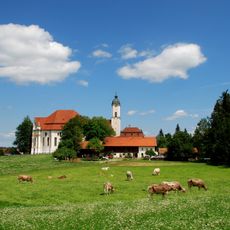
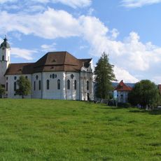
Steingaden was founded as a monastic community in the 12th century when a nobleman named Welf VI established Steingaden Abbey. The original Romanesque abbey church was built in 1176 but was later redesigned in Baroque and Rococo styles, especially after a reported miracle in 1738 that led to the construction of the famous Wieskirche.
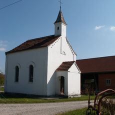
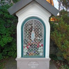
The village's name reflects its monastery origins, and pilgrimage traditions shape daily life here even today. Visitors experience this spiritual heritage as they encounter locals and travelers who come to the Wieskirche for quiet reflection and connection to the site's religious importance.
The village is easily reached by car via the A95 motorway and offers parking for visitors. The best starting point for exploration is the village center, from where you can walk to the abbey church, reach Wieskirche via nearby hiking trails, and visit local museums.
Johann Georg von Lori, a distinguished historian and co-founder of the Bavarian Academy of Sciences, was born here, showing that this small place produced people of regional and scholarly importance. Another notable son is Günther Neureuther, a successful judoka whose sporting achievements remain known in Bavaria.
The community of curious travelers
AroundUs brings together thousands of curated places, local tips, and hidden gems, enriched daily by 60,000 contributors worldwide.