Sande, municipality of Lower Saxony, Germany
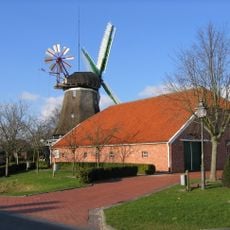
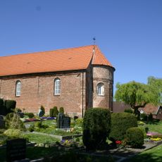
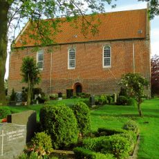
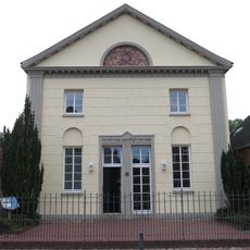
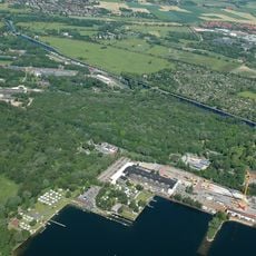
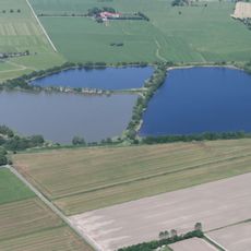
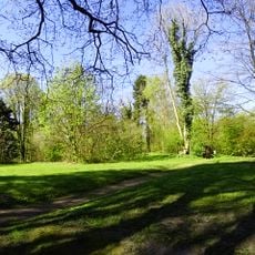
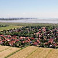
Sande is a municipality in Friesland with flat, agriculturally oriented landscape. The area displays typical northwestern German features with scattered residential buildings, green fields, and a quiet rural character.
Sande developed as a municipality from the historical Frisian landscape, shaped by centuries of settlement and drainage of moorlands. The region was long defined by traditional farming and livestock raising.
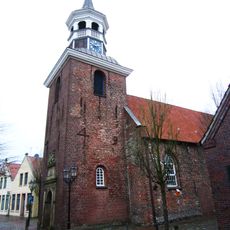
Sande takes its name from the sandy soil that defines the local landscape. The municipality reflects traditional Frisian life today through its distinctive architecture and the rhythm of rural community living.
The municipality is accessible to visitors interested in exploring rural Friesland, with straightforward road access throughout the area. Plan to spend time slowly experiencing the villages and countryside on foot or by bicycle on the flat terrain.
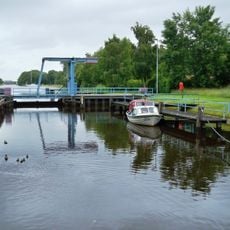
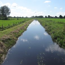
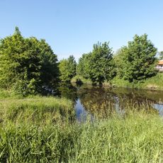
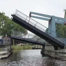
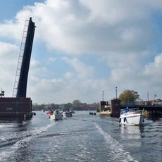
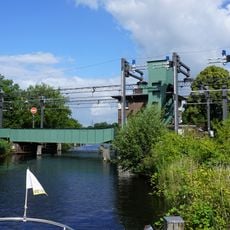
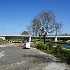
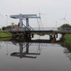
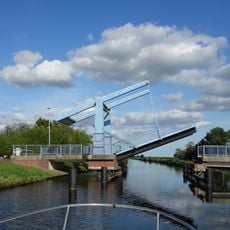
The region is known for its characteristic drainage systems with canals and ditches that define the flat landscape and intrigue visitors. This water infrastructure reveals how people shaped the land over centuries.
The community of curious travelers
AroundUs brings together thousands of curated places, local tips, and hidden gems, enriched daily by 60,000 contributors worldwide.