
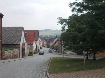
Großheringen, municipality of Germany
Location: Erfüllende Gemeinde Bad Sulza
Location: Weimarer Land
Elevation above the sea: 140 m
Shares border with: Bad Sulza, Schmiedehausen
Website: http://bad-sulza.de
GPS coordinates: 51.10222,11.66639
Latest update: March 5, 2025 23:30

Rudelsburg
2.9 km
Saaleck Castle
2.5 km
Rudelsburg
3 km
Villa Schultze-Naumburg
2.6 km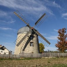
Windmühle Tultewitz
3.2 km
Hausbrücke
233 m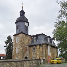
St. Wigbert
2.9 km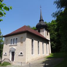
St. Johannes Evangelist (Dorfsulza)
2.8 km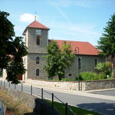
Dorfkirche Rehehausen
2.1 km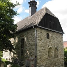
Dorfkirche Lachstedt
2.1 km
St. Laurentius
2.6 km
Rosenkirche St. Elisabeth
183 m
Protestant Church Kleinheringen
534 m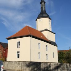
Protestant Church (Tultewitz)
2.7 km
Young Bismarck monument
3.1 km
Bad Kösen Fallen Monument 1870/71
3 km
Kaiser Wilhelm Obelisk
3.2 km
Gradierwerk Bad Sulza
2.5 km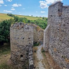
SE Corner tower Rudelsburg
2.9 km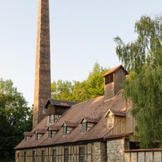
Boiling house pan V Bad Sulza
2.3 km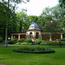
Bad Sulza drinking hall
3 km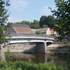
Kaatschen-Weichau Bridge
1.4 km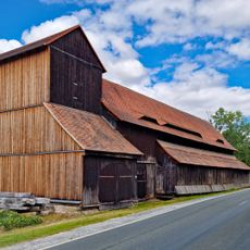
Bad Sulza brine reservoir
2.4 km
NE Corner tower Rudelsburg
2.9 km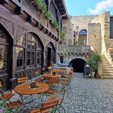
Castle yard
2.9 km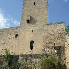
Keep Rudelsburg
2.9 km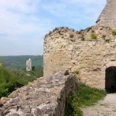
SW Corner tower Rudelsburg
2.9 km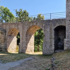
Bridge to Rudelsburg Castle
2.9 kmReviews
Visited this place? Tap the stars to rate it and share your experience / photos with the community! Try now! You can cancel it anytime.
Discover hidden gems everywhere you go!
From secret cafés to breathtaking viewpoints, skip the crowded tourist spots and find places that match your style. Our app makes it easy with voice search, smart filtering, route optimization, and insider tips from travelers worldwide. Download now for the complete mobile experience.

A unique approach to discovering new places❞
— Le Figaro
All the places worth exploring❞
— France Info
A tailor-made excursion in just a few clicks❞
— 20 Minutes