Enable Location

We need your location to show you interesting places around you

Discover nearby places

Find interesting locations and hidden gems around you

Precise directions

Get accurate directions and distances to places

Your location is never shared with other users. It's only used when you tap the location button.

Log in to your account

Start exploring — it's free

Trusted by 62,331 travelers worldwide

Continue with Google
Continue with Apple
or

We will send you a code to connect

By continuing, you accept our Terms and Conditions and our Privacy Policy

Check your inbox

We've sent a pincode in your inbox. Please enter the code below.

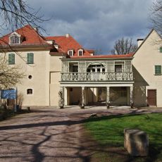
Weimarer Land, Rural district in Thuringia, Germany

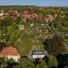
Weimarer Land is a rural district in Thuringia with rolling hills and valleys, with Apolda serving as its administrative center. The area comprises multiple municipalities managed through a network of administrative associations.

The district was created in 1920 following Thuringia's restructuring, when several duchies merged to form the Free State of Thuringia. This administrative reform shaped the boundaries and structures that still exist today.

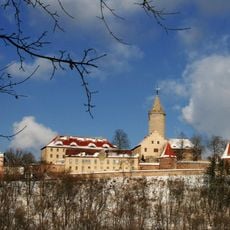
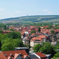
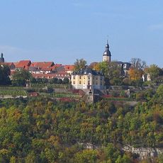
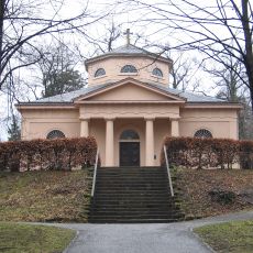
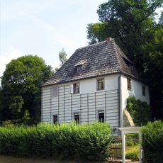
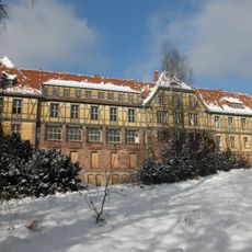
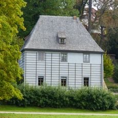
Each village in the district has its own church, and these buildings shape the character of the landscape. Artists like Lyonel Feininger painted these villages repeatedly, capturing their distinctive appearance in their work.

The area is accessible from multiple directions and offers good opportunities for exploration by car or bicycle. The many villages and landscapes are easily reachable during daytime, though the rural infrastructure should be considered when planning visits.

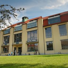
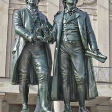
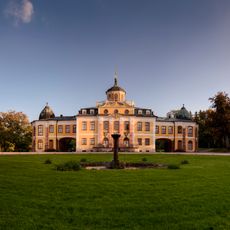
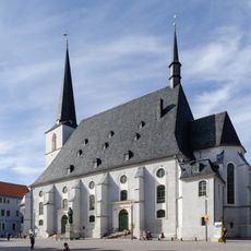
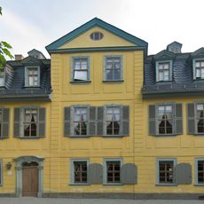
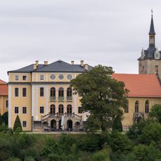
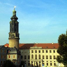
The region lies near Weimar, creating a distinctive connection between rural farm life and German literary tradition. This proximity to a city of significant cultural importance continues to influence how the area is understood and experienced.

The community of curious travelers

AroundUs brings together thousands of curated places, local tips, and hidden gems, enriched daily by 60,000 contributors worldwide.

Start exploring
Location
Capital city
Apolda
Elevation above the sea
263 m
Shares border with
Erfurt, Jena, Weimar, Burgenlandkreis, Saale-Holzland-Kreis, Landkreis Saalfeld-Rudolstadt, Ilm-Kreis, Sömmerda
GPS coordinates
51.00000,11.42000
Latest update
December 20, 2025 12:53
« Weimarer Land - Rural district in Thuringia, Germany » is provided by Around Us (aroundus.com). Images and texts are derived from Wikimedia project under a Creative Commons license. You are allowed to copy, distribute, and modify copies of this page, under the conditions set by the license, as long as this note is clearly visible.

Discover hidden gems everywhere you go!

From secret cafés to breathtaking viewpoints, skip the crowded tourist spots and find places that match your style. Our app makes it easy with voice search, smart filtering, route optimization, and insider tips from travelers worldwide. Download now for the complete mobile experience.

Around Us App Screenshot

A unique approach to discovering new places

Le Figaro

All the places worth exploring

France Info

A tailor-made excursion in just a few clicks

20 Minutes

Around Us
Travel Guide & Maps
Download

Send to your phone

QR Code
1

Open the camera app on your mobile.

2

Point at the QR code with your camera. A notification will appear.

3

Tap the notification to open the link.