
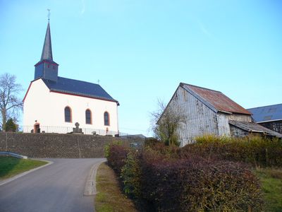
Sevenig, municipality of Germany
Location: Arzfeld
Elevation above the sea: 470 m
Website: http://www.sevenig-our.de
Website: http://sevenig-our.de
GPS coordinates: 50.12944,6.16500
Latest update: March 27, 2025 11:59
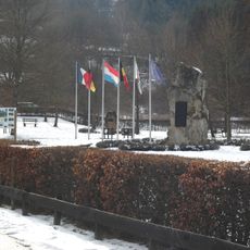
Monument to Europe
2.1 km
Ouren Castle
2.3 km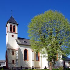
Saint Lucy Church (Eschfeld)
3.2 km
St. Martin
2.5 km
Lancaster Memorial
3.9 km
Kirche St. Peter
2.3 km
Schloss Oberhausen
3.6 km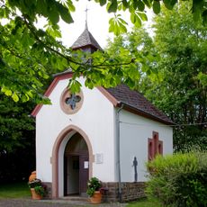
St. Aloysius
6.3 km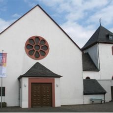
St. Servatius und St. Matthias (Dahnen)
6.6 km
Kriegsgräberstätte Dahnen
6.2 km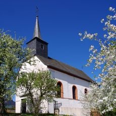
St. Maria Geburt
1.1 km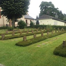
Kriegsgräberstätte Eschfeld
3.2 km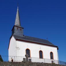
Saint John the Baptist Chapel
216 m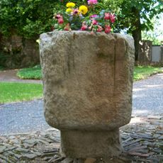
Taufbecken als christianisierter Menhir in Eschfeld
3.2 km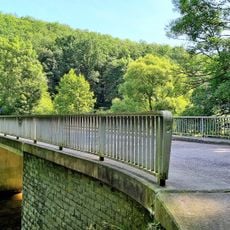
Tëntesmillen - Dahnen Our Bridge
4.9 km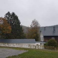
Pfarrhaus Ouren
2.3 km
Grenzstein Belgien
4.8 km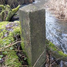
Grenzstein Belgien Luxemburg
4.6 km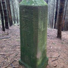
Grenzstein Belgien
3.9 km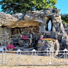
Grotte de Lourdes de Lieler
3.4 km
Grenzmaark LBN52
2 km
Grenzstein Belgien Luxemburg
3.8 km
Grenzstein Belgien Luxemburg
3.8 km
Grenzstein Belgien Luxemburg
3.6 km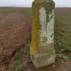
Grenzstein Belgien
5.4 km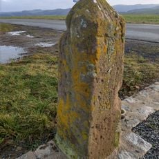
Grenzstein Belgien
3.9 km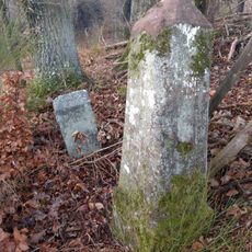
Grenzstein Belgien
3.9 km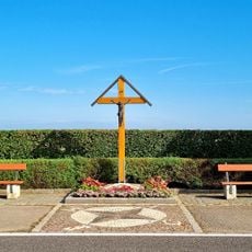
Weekräiz, CR338
4.9 kmReviews
Visited this place? Tap the stars to rate it and share your experience / photos with the community! Try now! You can cancel it anytime.
Discover hidden gems everywhere you go!
From secret cafés to breathtaking viewpoints, skip the crowded tourist spots and find places that match your style. Our app makes it easy with voice search, smart filtering, route optimization, and insider tips from travelers worldwide. Download now for the complete mobile experience.

A unique approach to discovering new places❞
— Le Figaro
All the places worth exploring❞
— France Info
A tailor-made excursion in just a few clicks❞
— 20 Minutes