Suhlendorf, municipality of Germany
Location: Uelzen District
Location: Rosche
Elevation above the sea: 62 m
Shares border with: Wrestedt, Soltendieck
Website: https://suhlendorf.de
GPS coordinates: 52.93333,10.76667
Latest update: March 7, 2025 01:02
Stederau
9.6 km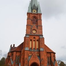
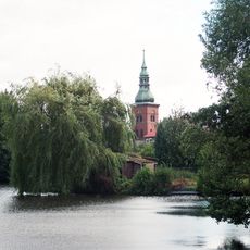
Marienkirche Suhlendorf
775 m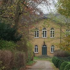
Gut Schnega
9.8 km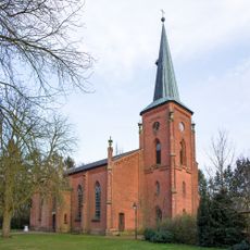
St. Johannis
5.9 km
Großsteingräber bei Hanstedt II
7.1 km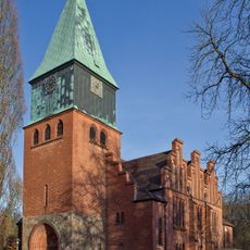
St. Michaelis (Schnega)
9.6 km
St. Dionys
8.4 km
St. Jakobus
9 km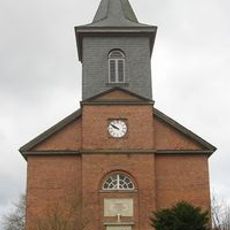
Saint Vitus Church
7.9 km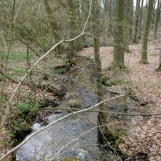
Schnegaer Mühlenbachtal
9.1 km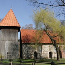
Feldsteinkirche Wieren
9.2 km
Handwerksmuseum Suhlendorf
1.3 km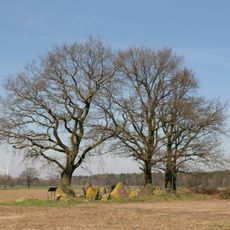
Großsteingräber bei Kahlstorf
5.7 km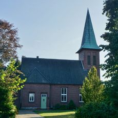
Church of Saint James (Nestau)
1.7 km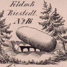
Großsteingräber bei Riestedt
9.4 km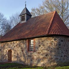
St. Michael's Chapel (Müssingen, Soltendieck)
9 km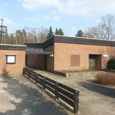
Christuskapelle Soltendieck
6.4 km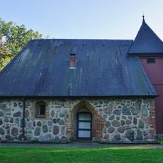
Chapel of Dalldorf
4.4 km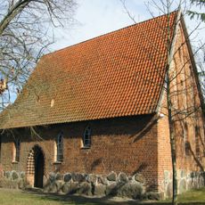
Saint Christopher Chapel (Hanstedt II)
7.1 km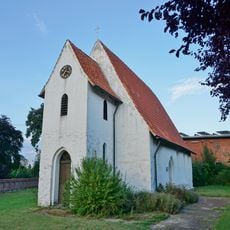
St. John the Baptist Chapel (Stöcken)
10.1 km
Schwarzes Moor bei Gavendorf
2.9 km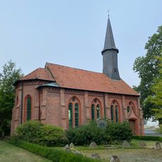
Chapel of St. Laurence in Polau
9.3 km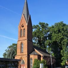
Church of St. James (Nateln)
4.2 km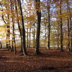
Droher Holz
6.7 km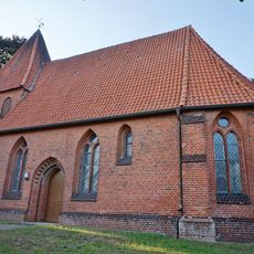
Chapel of Our Lady in Riestedt
10.6 km
Ilkenberg
2.3 km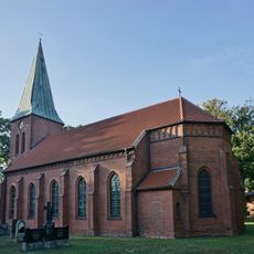
Church of Emern
7.1 km
Konau bei Braudel
10.7 kmVisited this place? Tap the stars to rate it and share your experience / photos with the community! Try now! You can cancel it anytime.
Discover hidden gems everywhere you go!
From secret cafés to breathtaking viewpoints, skip the crowded tourist spots and find places that match your style. Our app makes it easy with voice search, smart filtering, route optimization, and insider tips from travelers worldwide. Download now for the complete mobile experience.

A unique approach to discovering new places❞
— Le Figaro
All the places worth exploring❞
— France Info
A tailor-made excursion in just a few clicks❞
— 20 Minutes