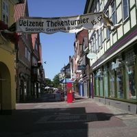
Uelzen District, Administrative district in Lower Saxony, Germany
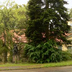
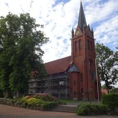
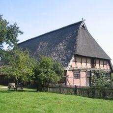
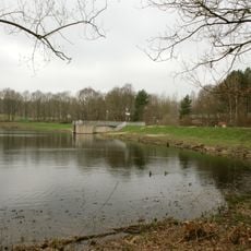
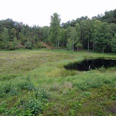
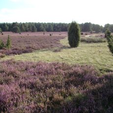
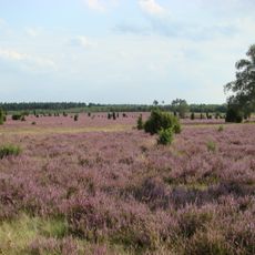
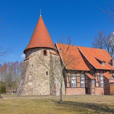
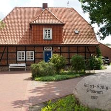
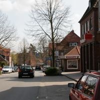
The Uelzen District is an administrative area in northeast Lower Saxony that covers extensive landscapes featuring the Lüneburg Heath and the source of the Ilmenau River. The region encompasses several municipalities organized under the district capital of Uelzen.
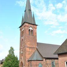
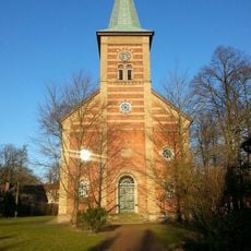
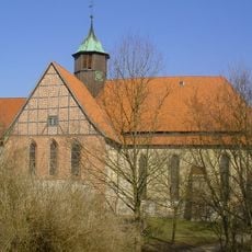
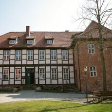
The district was established in 1885 as an administrative unit and developed from medieval settlements under the rule of the Dukes of Brunswick-Lüneburg. This formation marked the transition from locally based medieval governance to a modern organized system.
The coat of arms displays three crosses that commemorate the abbeys of Ebstorf, Oldenstadt, and Medingen, paired with the lion of the Dukes of Brunswick-Lüneburg. These symbols reflect the spiritual and ducal heritage that shaped the region.
The region is connected through established infrastructure, with the district capital Uelzen serving as the central hub for multiple municipalities such as Suderburg, Bienenbüttel, and Rosche. Visitors will find road networks that make traveling between locations straightforward.
The region is known for its sugar beet production, with processing facilities handling substantial harvests each year. This agricultural tradition continues to shape the economy and character of the area.
The community of curious travelers
AroundUs brings together thousands of curated places, local tips, and hidden gems, enriched daily by 60,000 contributors worldwide.