Haußelberg, Summit in Lüneburg Heath, Germany
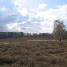
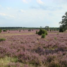
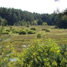
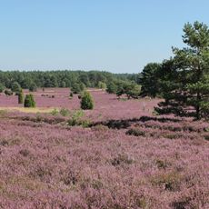
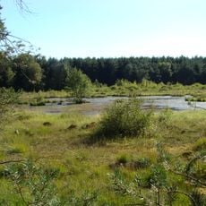
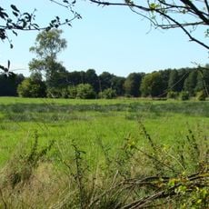
Haußelberg is a summit in the Lüneburg Heath that rises about 150 meters above sea level and is located in the northwestern part of Celle district. The site sits near Becklingen village and is now used as the Bergen-Hohne Training Area.
Mathematician Carl Friedrich Gauss selected this summit in 1820 as a surveying station for his major project to map the Kingdom of Hanover. This scientific work significantly shaped the development of modern surveying methods.
The name Haußelberg reflects its historical importance, and the site was part of a triangulation network that appeared on German banknotes. This recognition shows how significant the surveying work was to society at that time.
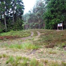
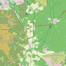
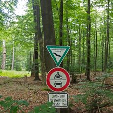
The site is difficult to reach because it sits within a military training area operated by NATO that is not always open to the public. Visitors should check access conditions beforehand and register if required.
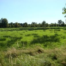
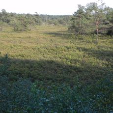
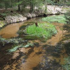
The landscape was transformed from open heathland into dense forest through systematic tree planting beginning in the late 1800s. This ecological shift shows how deliberate human efforts can reshape an entire region.
The community of curious travelers
AroundUs brings together thousands of curated places, local tips, and hidden gems, enriched daily by 60,000 contributors worldwide.