
Hohenstein, municipality in Nordhausen district, Thuringia, Germany
Location: Nordhausen district
Elevation above the sea: 235 m
Website: https://gemeindehohenstein-harz.de
GPS coordinates: 51.55634,10.59394
Latest update: March 2, 2025 23:04
Burg Sachsenstein
3.6 km
Steingrabental - Mackenröder Wald
6.4 km
Gipskarstlandschaft Bad Sachsa und Walkenried
2.8 km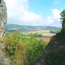
Römerstein
5.2 km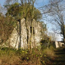
Burgruine Klettenberg
502 m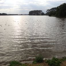
Speicher Schiedungen
4.1 km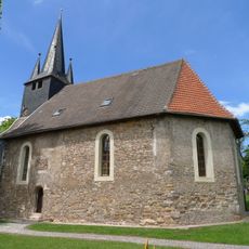
Kirche Stöckey
6.8 km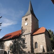
St. Petrus (Liebenrode)
2.9 km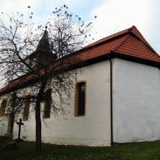
Protestant Church
5 km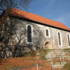
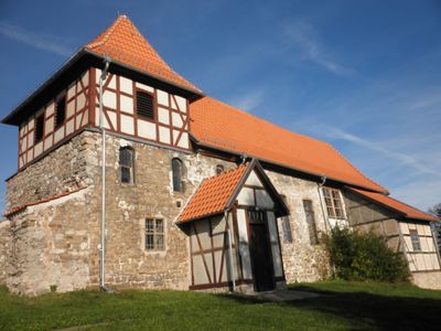
St. Nicolai
436 m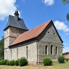
St. Andreas
2.9 km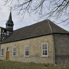
St. Andreas
7.1 km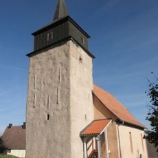
St. Jacobi
7.5 km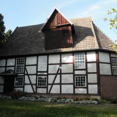
St. Andreas
6 km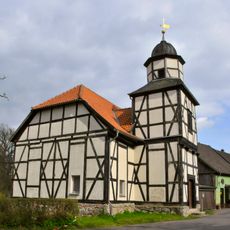
St. Bartholomäus (Holbach)
1.9 km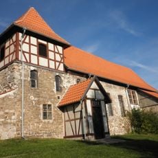
Branderode church
1.2 km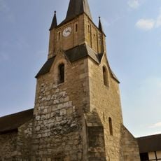
Heiliggeist-Kirche
3.8 km
Kirche Gratzungen
6 km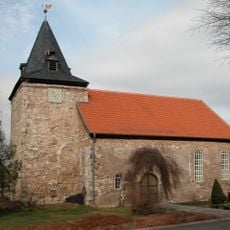
St. Michaelis (Pützlingen)
4.2 km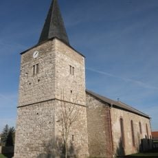
St. Petrus (Mackenrode)
3.1 km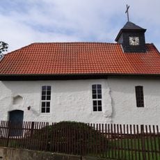
Protestant Church (Immenrode)
7.2 km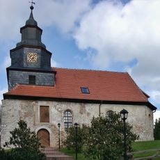
Protestant Church (Werningerode)
9.2 km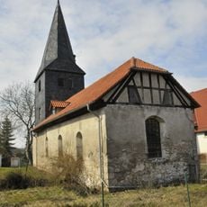
St. Trinitatis (Etzelsrode)
5.7 km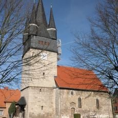
St. Nikolai (Trebra)
6.3 km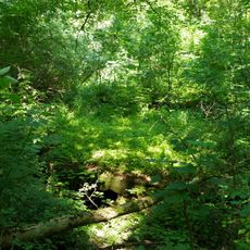
Juliushütte
5.2 km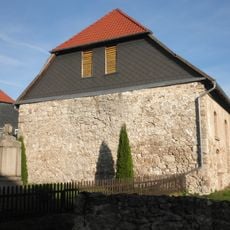
St. Marien (Obersachswerfen)
2.8 km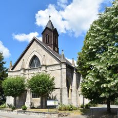
St. Antonius
2 km
Gipskarstgebiet bei Bad Sachsa
3.4 kmVisited this place? Tap the stars to rate it and share your experience / photos with the community! Try now! You can cancel it anytime.
Discover hidden gems everywhere you go!
From secret cafés to breathtaking viewpoints, skip the crowded tourist spots and find places that match your style. Our app makes it easy with voice search, smart filtering, route optimization, and insider tips from travelers worldwide. Download now for the complete mobile experience.

A unique approach to discovering new places❞
— Le Figaro
All the places worth exploring❞
— France Info
A tailor-made excursion in just a few clicks❞
— 20 Minutes