Römerstein, Mountain summit in Göttingen district, Germany
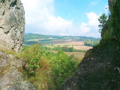
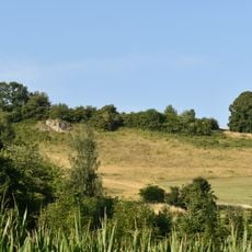
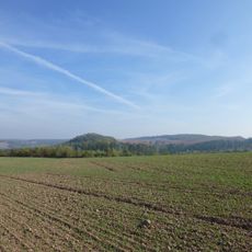
Römerstein is a mountain summit in the Göttingen district that rises approximately 345 meters and forms part of the northern Harz range. The peak features exposed rock and forested slopes typical of this highland region.
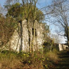
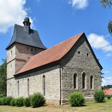
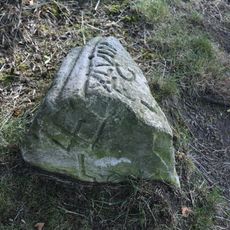
Archaeological findings show that people have inhabited this mountain region for many centuries. The mountain's name hints at Roman influences from earlier times that shaped the character of this landscape.
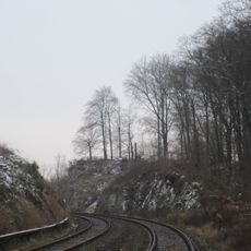
The mountain's name carries a memory of Roman times in this region, though the exact origin of this designation remains unclear today. Hikers notice various trail markers on the way up that have guided generations of visitors to the summit.
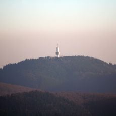
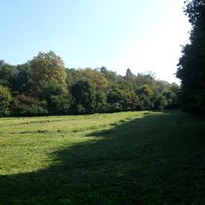
The mountain is accessible via several marked trails that begin from different starting points in the Göttingen district. The route is manageable for most hikers, requiring only basic gear and proper footwear.
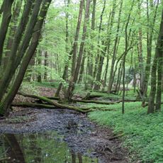
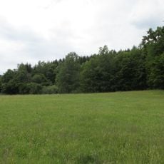
The mountain's different elevation zones support distinct plant communities that noticeably change as you climb. This shift is often overlooked by visitors, even though it's one of the most visible features of the ascent.
The community of curious travelers
AroundUs brings together thousands of curated places, local tips, and hidden gems, enriched daily by 60,000 contributors worldwide.