Enable Location

We need your location to show you interesting places around you

Discover nearby places

Find interesting locations and hidden gems around you

Precise directions

Get accurate directions and distances to places

Your location is never shared with other users. It's only used when you tap the location button.

Steingrabental - Mackenröder Wald

Log in to your account

Start exploring — it's free

Trusted by 62,348 travelers worldwide

Continue with Google
Continue with Apple
or

We will send you a code to connect

By continuing, you accept our Terms and Conditions and our Privacy Policy

Check your inbox

We've sent a pincode in your inbox. Please enter the code below.

Steingrabental - Mackenröder Wald

Steingrabental - Mackenröder Wald, former nature reserve in Lower Saxony, Germany

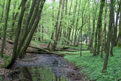
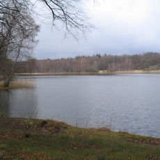
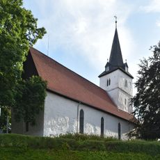
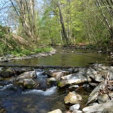
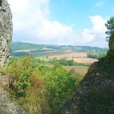
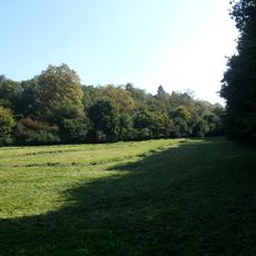
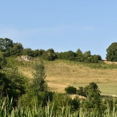
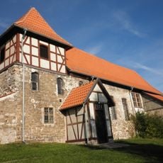
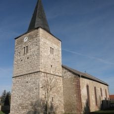
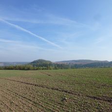
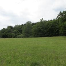
The Steingrabental - Mackenröder Wald is a protected natural area near Bad Sachsa and Bad Lauterberg in Lower Saxony, covering roughly 590 hectares with a distinctive karst landscape. The terrain features sinkholes, springs, rolling hills and valleys covered by mixed deciduous and coniferous forests, meadows, and open fields.

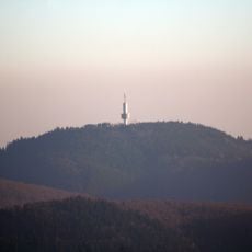
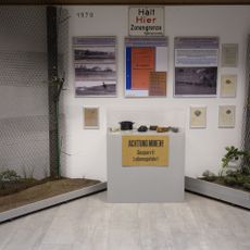
The area was designated as a protected zone in 1999 and forms part of the larger gypsum karst region near Bad Sachsa. During the division of Germany, it lay along the border with Thuringia, an isolation that inadvertently protected the wildlife inhabiting it.

The area reflects its border heritage, where isolation protected wildlife and allowed forests to recover undisturbed over decades. The Branntweinseiche, an old oak tree in the woods, recalls the days when cart drivers would stop there to rest and drink before continuing their journeys.

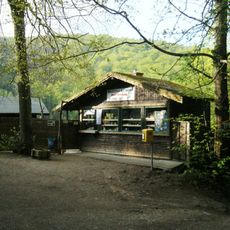
Visitors can explore the area on marked hiking trails suitable for beginners, with mostly flat sections and well-maintained paths that are easy to follow using hiking apps. Comfortable shoes are recommended due to occasional uneven ground and some areas with overgrown vegetation.

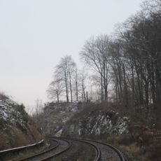
An old railway route still visible today marks the Helmetalbahn, built by concentration camp prisoners during World War II as a haunting reminder of that period embedded in the landscape. Walking these paths connects nature exploration with historical reflection in a quiet, somber way that many visitors find deeply moving.

The community of curious travelers

AroundUs brings together thousands of curated places, local tips, and hidden gems, enriched daily by 60,000 contributors worldwide.

Start exploring
Location
Inception
1999
GPS coordinates
51.57083,10.50444
Latest update
February 9, 2026 07:43
« Steingrabental - Mackenröder Wald - former nature reserve in Lower Saxony, Germany » is provided by Around Us (aroundus.com). Images and texts are derived from Wikimedia project under a Creative Commons license. You are allowed to copy, distribute, and modify copies of this page, under the conditions set by the license, as long as this note is clearly visible.

Discover hidden gems everywhere you go!

From secret cafés to breathtaking viewpoints, skip the crowded tourist spots and find places that match your style. Our app makes it easy with voice search, smart filtering, route optimization, and insider tips from travelers worldwide. Download now for the complete mobile experience.

Around Us App Screenshot

A unique approach to discovering new places

Le Figaro

All the places worth exploring

France Info

A tailor-made excursion in just a few clicks

20 Minutes

Around Us
Travel Guide & Maps
Download

Send to your phone

QR Code
1

Open the camera app on your mobile.

2

Point at the QR code with your camera. A notification will appear.

3

Tap the notification to open the link.