
Dienheim, municipality of Germany
Location: Verbandsgemeinde Rhein-Selz
Elevation above the sea: 89 m
Website: http://dienheim.de
GPS coordinates: 49.84028,8.35056
Latest update: March 4, 2025 16:34
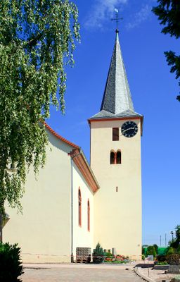
St. Catherine's Church
1.5 km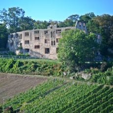
Burg Landskron
1.7 km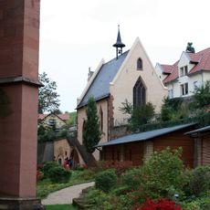
Michaelskapelle
1.6 km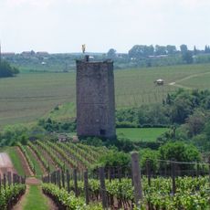
Burg Schwabsburg
3.8 km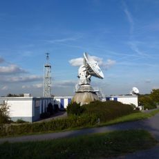
Funkmessstelle für Weltraumfunk
3.6 km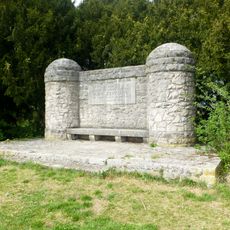
Zeppelindenkmal
2.9 km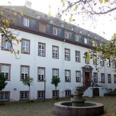
Leininger Schloss
5 km
Weingut Heyl zu Herrnsheim
3.7 km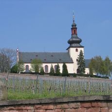
Niersteiner Glöck
3.5 km
Deutsches Weinbaumuseum
1.1 km
Weingut Brüder Dr. Becker
2.6 km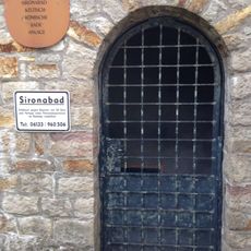
Sironabad
2.8 km
Deutschherrenhof (Guntersblum)
4.8 km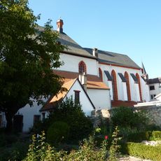
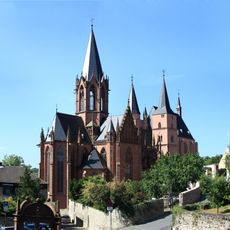
Bartholomäuskirche
1.3 km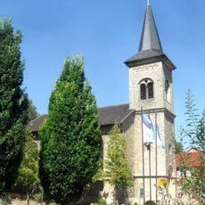
Katholische Kirche Guntersblum
5 km
Domhof
5 km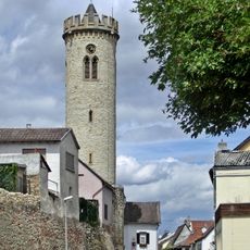
Uhrturm, Oppenheim
1.9 km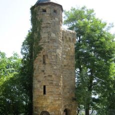
Ruprechtsturm
1.8 km
Julianenbrunnen
4.8 km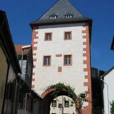
Gautor
1.3 km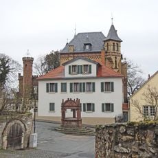
Villa Frowein
1.6 km
Polyscher Hof
4.7 km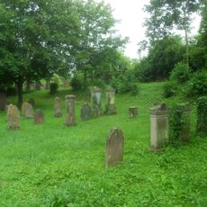
Jüdischer Friedhof Guntersblum
4.5 km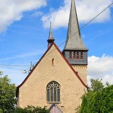
Maria Himmelfahrt
2.7 km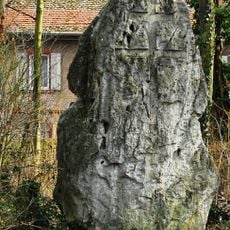
Menhir von Nierstein
3.5 km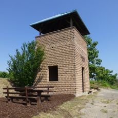
Römerturm
4.1 km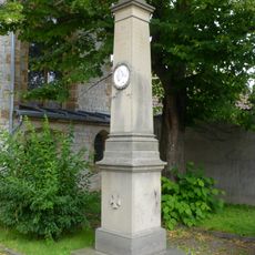
Kriegerdenkmal 1870/71
3.7 km
Protestant Church (Schwabsburg)
3.7 kmReviews
Visited this place? Tap the stars to rate it and share your experience / photos with the community! Try now! You can cancel it anytime.
Discover hidden gems everywhere you go!
From secret cafés to breathtaking viewpoints, skip the crowded tourist spots and find places that match your style. Our app makes it easy with voice search, smart filtering, route optimization, and insider tips from travelers worldwide. Download now for the complete mobile experience.

A unique approach to discovering new places❞
— Le Figaro
All the places worth exploring❞
— France Info
A tailor-made excursion in just a few clicks❞
— 20 Minutes