
Hollen, neighborhood in Beverstedt, Germany
Location: Beverstedt
Elevation above the sea: 0 m
Website: http://www.beverstedt.de/
Website: http://beverstedt.de
GPS coordinates: 53.42511,8.70743
Latest update: March 27, 2025 19:00
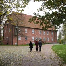
Burg zu Hagen Castle
9.3 km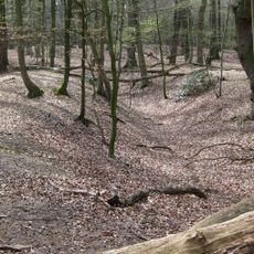
Monsilienburg
10 km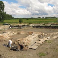
Burg Stotel
7.7 km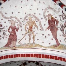
Loxstedter Totentanz
6.4 km
St.-John-the-Baptist church (Loxstedt)
6.5 km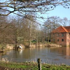
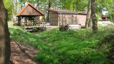
Wassermühle Deelbrügge
5.8 km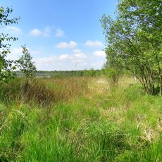
Bülter See und Randmoore
7.8 km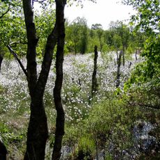
Hahnenknooper Moore
7.5 km
St. Marienkirche
6.4 km
Silbersee und Laaschmoor
9.9 km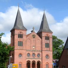
Fabian- und Sebastian-Kirche
7.5 km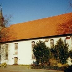
St. Margarethenkirche
7.8 km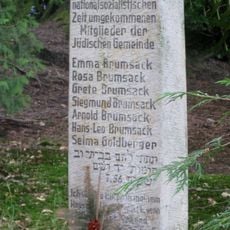
Jüdischer Friedhof
7.3 km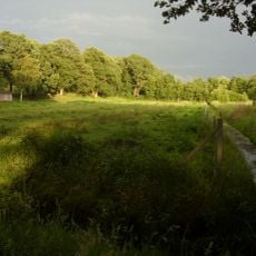
Bargsmoor/ Rechtenflethermoor
10.3 km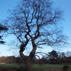
Hollener Pesteiche
819 m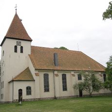
St. Jacobi
6.6 km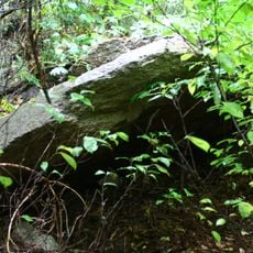
Großsteingräber bei Bexhövede
6.3 km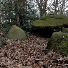
Großsteingrab Axstedt
7.9 km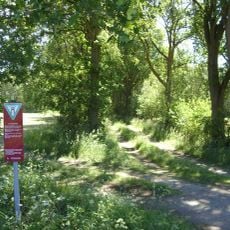
Im Hausbeeken
3.9 km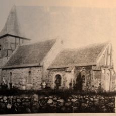
Johannes-der-Täufer-Kirche
7.3 km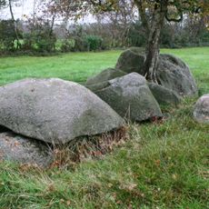
Großsteingrab Wittstedt
5.4 km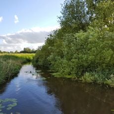
Rohrniederung
9.8 km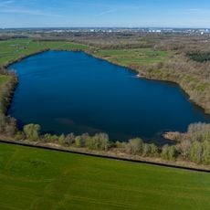
Apeler See und Umland
10 km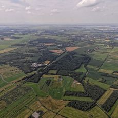
Interessentenforst südöstlich Düring
3.6 km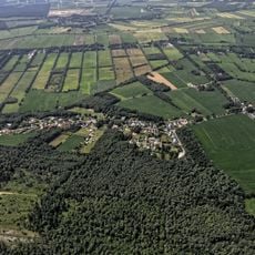
Hollener Heide
1.5 km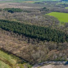
Gehölz bei Schiffdorf
10.2 km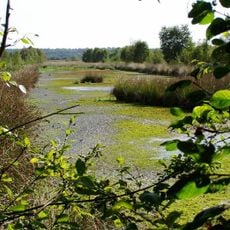
Placken-, Königs- und Stoteler Moor
7.1 km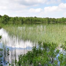
Silbersee, Laaschmoor, Bülter See, Bülter Moor
8 kmReviews
Visited this place? Tap the stars to rate it and share your experience / photos with the community! Try now! You can cancel it anytime.
Discover hidden gems everywhere you go!
From secret cafés to breathtaking viewpoints, skip the crowded tourist spots and find places that match your style. Our app makes it easy with voice search, smart filtering, route optimization, and insider tips from travelers worldwide. Download now for the complete mobile experience.

A unique approach to discovering new places❞
— Le Figaro
All the places worth exploring❞
— France Info
A tailor-made excursion in just a few clicks❞
— 20 Minutes