Monsilienburg, Medieval castle in Lower Saxony, Germany.
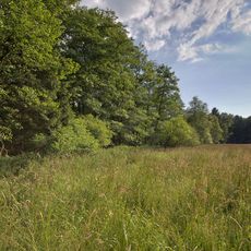
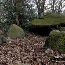
Monsilienburg is a medieval castle in Lower Saxony that rises near the Weser river and is defined by fieldstone and brick walls. The ruins display the typical features of a northern German river valley fortress with different defensive sections and ground plan structures.
The fortress was built as a control point for trade routes along the Weser during the Middle Ages and played an important role in regional security structures. Later destruction transformed it into ruins that no longer serve its original military purpose.
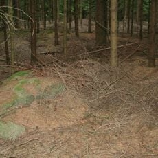
The castle displays characteristics of North German brick architecture that were common in medieval construction across the region. Visitors can see these building style features clearly in the surviving walls and structures.
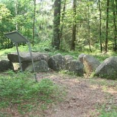
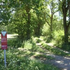
The ruins are accessible via marked trails and are well-suited for quiet visits. Information panels are located at several spots throughout the site and explain the functions of different sections.
The foundation stones of this fortress came from local quarries along the Weser and carry geological markers that clearly show the material's origin. This local sourcing was typical for medieval fortifications and significantly reduced transport costs.
The community of curious travelers
AroundUs brings together thousands of curated places, local tips, and hidden gems, enriched daily by 60,000 contributors worldwide.