
Rattelsdorf, municipality of Germany
Location: Saale-Holzland-Kreis
Elevation above the sea: 280 m
Website: http://huegelland-taeler.de
GPS coordinates: 50.81361,11.77306
Latest update: May 7, 2025 16:34
Schloss Fröhliche Wiederkunft
5.3 km
Brehm-Gedenkstätte
5.3 km
Kloster Roda
6.4 km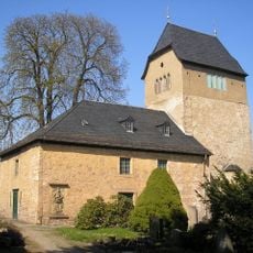
Heilig-Kreuz-Kirche
5.7 km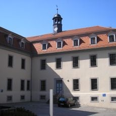
Schloss Stadtroda
5.8 km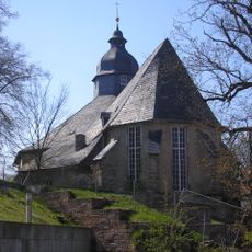
Stadtkirche St. Salvator (Stadtroda)
5.7 km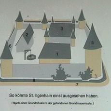
Burg Sankt Ilgenhain
5.9 km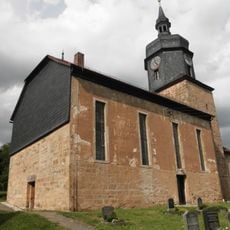
St. Nicolai (Lippersdorf)
2.4 km
Dorfkirche Tröbnitz
4.1 km
Dorfkirche Weißbach
1.1 km
Protestant Church
4.5 km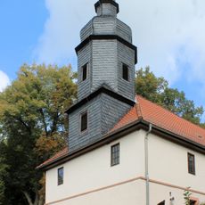
St. Jakob
6 km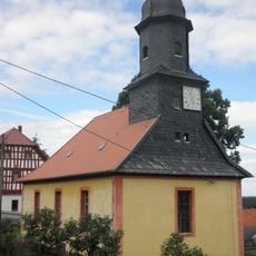
St. Stephanus und St. Nikolaus
4.9 km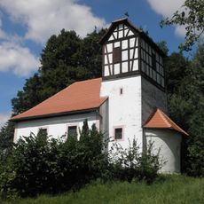
Protestant Church (Burkersdorf)
4.6 km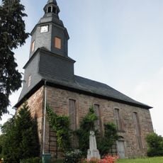
Dorfkirche Untergneus
6.3 km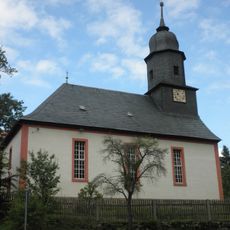
Dorfkirche Breitenhain
5.3 km
Marienkirche
6.4 km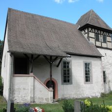
Kirche Karlsdorf
2.2 km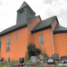
Dorfkirche Stanau
4.3 km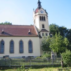
Dorfkirche Eineborn
3.9 km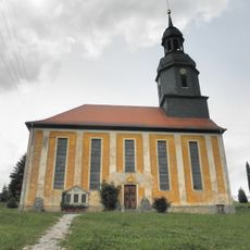
Dorfkirche Bremsnitz
1.4 km
Dorfkirche Rattelsdorf
45 m
St. Nikolaus (Zwackau)
5.6 km
Protestant Church
1.9 km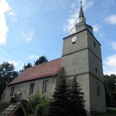
St. Trinitatis (Ottendorf)
3.9 km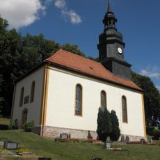
Protestant Church Pillingsdorf
4 km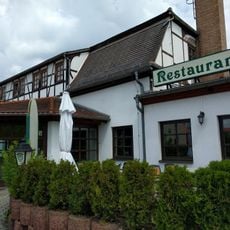
Schützenhaus Zur Louisenlust
5.7 km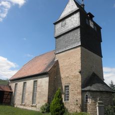
Village church Kleinebersdorf
4.5 kmVisited this place? Tap the stars to rate it and share your experience / photos with the community! Try now! You can cancel it anytime.
Discover hidden gems everywhere you go!
From secret cafés to breathtaking viewpoints, skip the crowded tourist spots and find places that match your style. Our app makes it easy with voice search, smart filtering, route optimization, and insider tips from travelers worldwide. Download now for the complete mobile experience.

A unique approach to discovering new places❞
— Le Figaro
All the places worth exploring❞
— France Info
A tailor-made excursion in just a few clicks❞
— 20 Minutes