
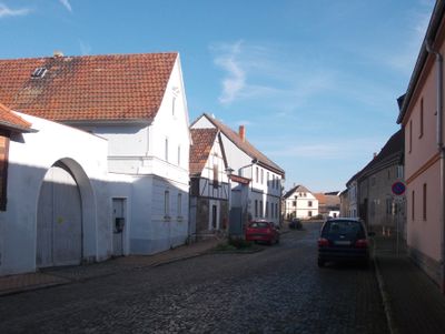
Obertrebra, municipality of Germany
Location: Erfüllende Gemeinde Bad Sulza
Location: Weimarer Land
Elevation above the sea: 140 m
Shares border with: Bad Sulza, Niedertrebra
Website: http://bad-sulza.de
GPS coordinates: 51.06306,11.56944
Latest update: March 25, 2025 01:03

Glocken-StadtMuseum
5.3 km
Kunsthaus Apolda Avantgarde
5.3 km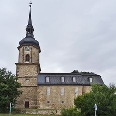
St. Mauritius
4.7 km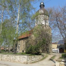
Friedenskirche St. Vitus
4.3 km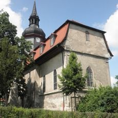
Kirche
6 km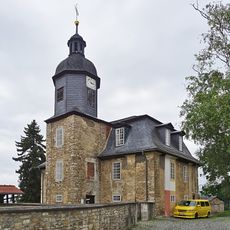
St. Wigbert
5.2 km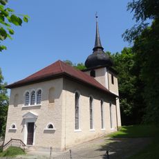
St. Johannes Evangelist (Dorfsulza)
5.2 km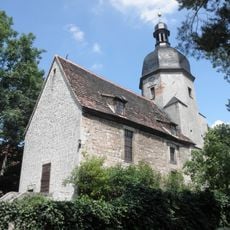
Kirche
4.2 km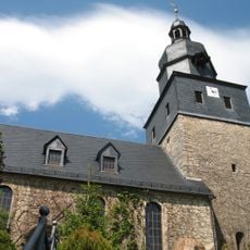
St. Hilarius (Utenbach)
3.8 km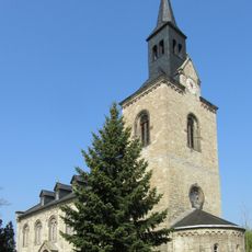
Protestant Church (Reisdorf, Bad Sulza)
4.4 km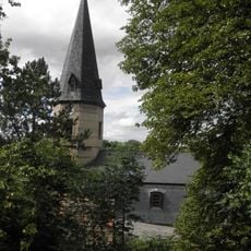
Dorfkirche Flurstedt
877 m
Kirche
4.2 km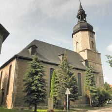
Dorfkirche Niedertrebra
1.3 km
Dorfkirche Obertrebra
280 m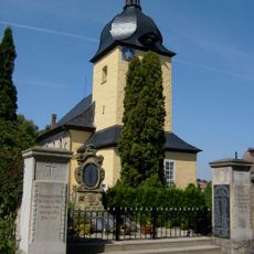
Saint Mary Church
4.6 km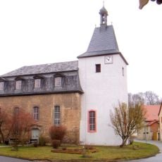
St. Margarete
1.4 km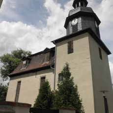
Protestant Church (Kösnitz)
5.7 km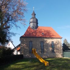
Protestant Church
3.4 km
Protestant Church Rannstedt
3.2 km
Schloss Auerstedt
4.2 km
Postamt Apolda
5.2 km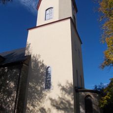
St. Vitus (Wickerstedt)
2.3 km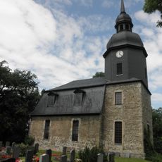
Protestant Church Pfuhlsborn
3 km
Searcher of the Holy Grail
5.5 km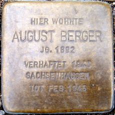
Stolperstein dedicated to August Berger
5.1 km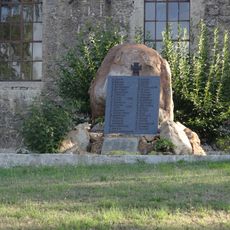
War memorial Utenbach (Apolda)
3.8 km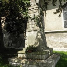
War memorial Eckolstädt
6 km
Bad Sulza drinking hall
5 kmVisited this place? Tap the stars to rate it and share your experience / photos with the community! Try now! You can cancel it anytime.
Discover hidden gems everywhere you go!
From secret cafés to breathtaking viewpoints, skip the crowded tourist spots and find places that match your style. Our app makes it easy with voice search, smart filtering, route optimization, and insider tips from travelers worldwide. Download now for the complete mobile experience.

A unique approach to discovering new places❞
— Le Figaro
All the places worth exploring❞
— France Info
A tailor-made excursion in just a few clicks❞
— 20 Minutes