County of Mark, Medieval state in Westphalia, Germany
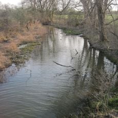
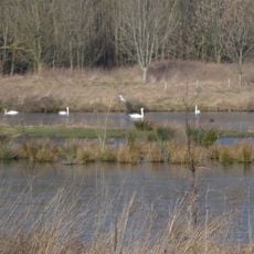
The County of Mark was a territory in the western Holy Roman Empire that stretched between the Lippe and Aggers rivers. The region displayed diverse landscapes with flat northern plains and hilly southern areas.
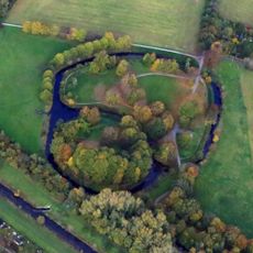
The territory emerged around 1160 from Berg-Altena and took its name from Mark Castle, built by Count Frederick I in 1198 as an administrative center. Independence from the Archbishopric of Cologne came after participation in a major conflict in the late 13th century.
The red and white checkered pattern from the County's coat of arms still appears in regional symbols and city emblems today. This design connects the territory's past to its current identity.
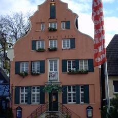
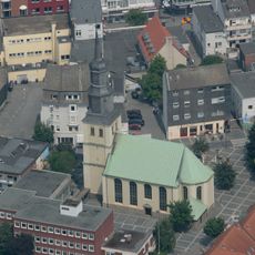
The historical boundaries of this territory now form part of North Rhine-Westphalia, with the city of Hamm serving as a central starting point for exploration. Visitors can move through the region by various means and discover both historical sites and the natural surroundings.
Mark Castle served not just as an administrative seat but fundamentally shaped the territory's entire development from its foundation. The location became a symbol of regional power and influenced all later political structures of the area.
The community of curious travelers
AroundUs brings together thousands of curated places, local tips, and hidden gems, enriched daily by 60,000 contributors worldwide.