
Emmerting, municipality of Germany
Location: Altötting
Elevation above the sea: 387 m
Part of: Verwaltungsgemeinschaft Emmerting
Shares border with: Burgkirchen an der Alz, Kastl
Website: http://gemeinde-emmerting.de
GPS coordinates: 48.20000,12.76667
Latest update: March 7, 2025 11:11

Hammerschmiede Burghausen
6.1 km
Kümmerniskapelle
4.9 km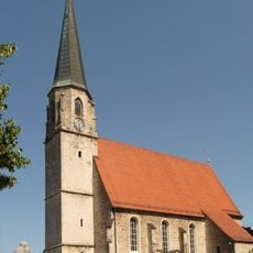
St. Johann Baptist (Burgkirchen an der Alz)
4.7 km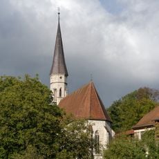
Heiligkreuz
6.1 km
Dreifaltigkeitskirche (Burgkirchen an der Alz)
4.6 km
Zu Unserer Lieben Frau
5.3 km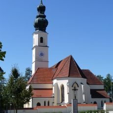
Mariä Himmelfahrt
5.4 km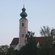
Katholische Pfarrkirche St. Martin
2.6 km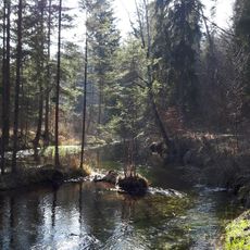
Untere Alz
4.5 km
LSG Salzachtal im Gebiet der Gemeinde Haiming, der Stadt Burghausen und der Gemeinden Raitenhaslach und Burgkirchen an der Alz
6.2 km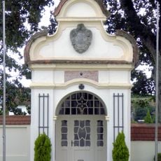
Kriegergedächtniskapelle
5.4 km
Kapelle, sogenannte „Kümmerniskapelle“ auf dem Hechenberg
4.9 km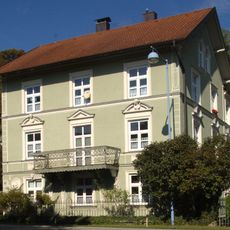
Villa
6.1 km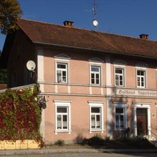
Gasthaus Napoleonshöhe
6.2 km
Wohnhaus
6.2 km
Werkssiedlung Robert-Koch-Str. (Burghausen)
6.1 km
Werkssiedlung Wackerstraße
6.1 km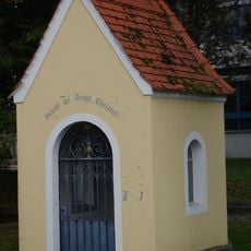
Heiligenhäuschen
6 km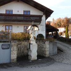
Figur des hl. Johann Nepomuk
6.2 km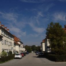
Werkssiedlung Liebigstr.
5.6 km
Wohnhaus
6.3 km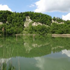
Inn und Untere Alz
4.4 km
Mariä Himmelfahrt
5.4 km
Wohnhaus
6.3 km
Christus an der Martersäule
5.2 km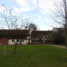
Pfarr-Ökonomie
6.1 km
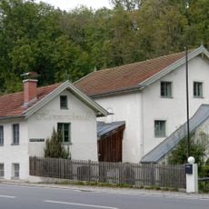
Einfirsthof
6.2 km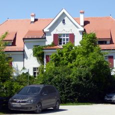
Villenartiges Wohnhaus und ehemalige Bahnhofsgaststätte
4.7 kmVisited this place? Tap the stars to rate it and share your experience / photos with the community! Try now! You can cancel it anytime.
Discover hidden gems everywhere you go!
From secret cafés to breathtaking viewpoints, skip the crowded tourist spots and find places that match your style. Our app makes it easy with voice search, smart filtering, route optimization, and insider tips from travelers worldwide. Download now for the complete mobile experience.

A unique approach to discovering new places❞
— Le Figaro
All the places worth exploring❞
— France Info
A tailor-made excursion in just a few clicks❞
— 20 Minutes