
Frankendorf, municipality of Germany
Location: Weimarer Land
Elevation above the sea: 270 m
Shares border with: Wiegendorf, Kapellendorf
GPS coordinates: 50.96833,11.44944
Latest update: March 5, 2025 02:30
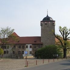
Wasserburg Kapellendorf
1.4 km
Ilmmühle Taubach
5.5 km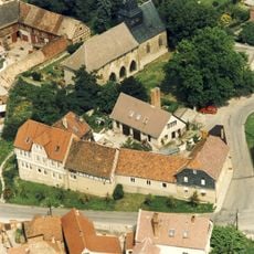
Kloster Kapellendorf
1.6 km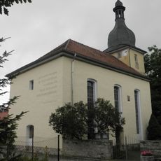
Kirche Zu den 14 Heiligen (Süßenborn)
4.5 km
St. Georg
4.8 km
Kirche Kapellendorf
1.5 km
St. Ursula
5.2 km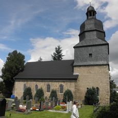
St. Michael
3.2 km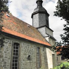
St Margareta (Großschwabhausen)
4.4 km
Dorfkirche Umpferstedt
2.7 km
Protestant Church (Ulrichshalben)
5.3 km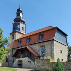
Magdalenenkirche
3.3 km
Protestant Church Frankendorf
79 m
Protestant Church Hohlstedt
2.3 km
Dorfkirche Kleinromstedt
4.8 km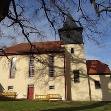
St. Anna
3.8 km
Dorfkirche Kötschau
2.6 km
Dorfkirche Kleinschwabhausen
4.3 km
Protestant Church
1.7 km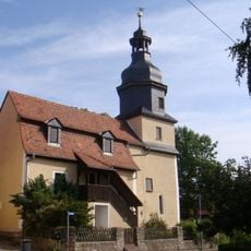
Dorfkirche Wiegendorf
2.1 km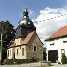
Protestant Church
3.5 km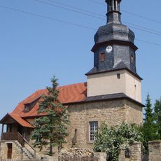
St. Vitus
2.9 km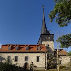
St. Petrus (Sulzbach)
4.5 km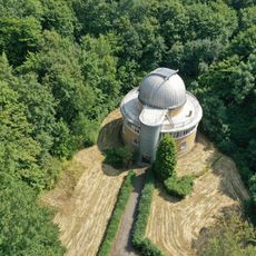
Observatory Großschwabhausen
5 km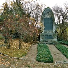
War memorial Mellingen (Thuringia)
4.8 km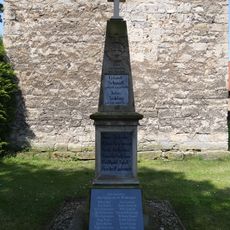
War memorial Hammerstedt
1.7 km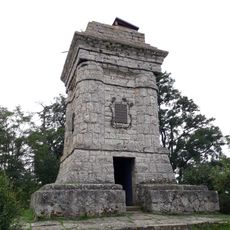
Kriegerdenkmal auf dem Sperlingsberg
2 km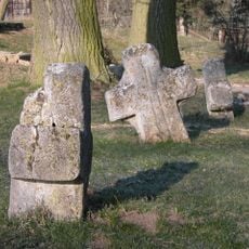
Stone crosses Lehnstedt
3.3 kmVisited this place? Tap the stars to rate it and share your experience / photos with the community! Try now! You can cancel it anytime.
Discover hidden gems everywhere you go!
From secret cafés to breathtaking viewpoints, skip the crowded tourist spots and find places that match your style. Our app makes it easy with voice search, smart filtering, route optimization, and insider tips from travelers worldwide. Download now for the complete mobile experience.

A unique approach to discovering new places❞
— Le Figaro
All the places worth exploring❞
— France Info
A tailor-made excursion in just a few clicks❞
— 20 Minutes