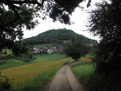
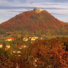
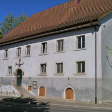
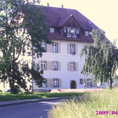
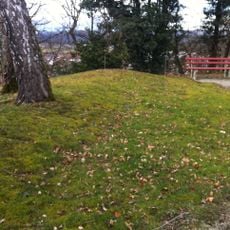
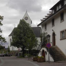
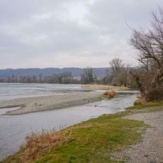
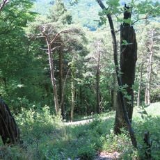
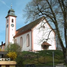
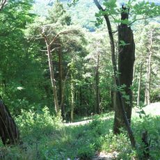
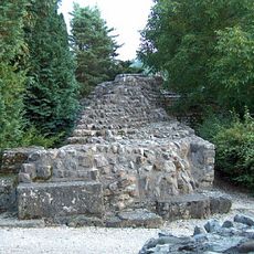
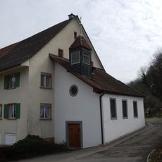
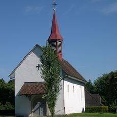
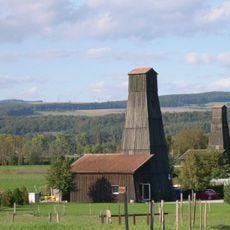
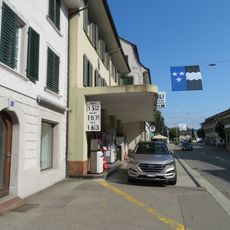
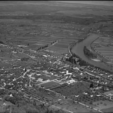
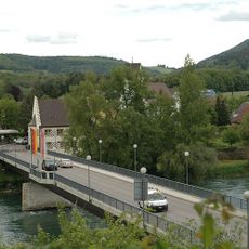
Bechtersbohl, quarter of Küssaberg, Baden-Württemberg, Germany
Location: Küssaberg
Elevation above the sea: 442 m
GPS coordinates: 47.60465,8.34731
Latest update: March 6, 2025 16:43
Küssaburg
587 m
Rheinbrücke Zurzach–Rheinheim
3.9 km
Château (former villa Zuberbühler)
4.2 km
Wallburg Semberg
4 km
Gasthaus Der Engel
3.8 km
Schloss Willmendingen
3.9 km
Late Roman double fort together with "Sidelen" and early Christian church ground plan with baptismal font
4.1 km
Reformed church
4.4 km
Orchideenwiese
2.4 km
Kadelburg
3.2 km
Orchideenwiese Küßnach
1.5 km
Kaiserliches Jagdhaus
3.8 km
Pulsatilla-Standort Dangstetten
3.1 km
Museum Küssaberg
3.8 km
Hochrhein östl. Waldshut
1.6 km
Klettgaurücken
4.2 km
St. Johannes
4.4 km
Küssaberg
692 m
Tenedo; prehistoric / roman / medieval / modern settlement
4.3 km
Castle chapel
4.3 km
Verena and Mauritius chapel
4.1 km
Salt rigs
4.4 km
House "Zum Meerfräulein"
4.4 km
Zum Roten Turm
4.4 km
Rheinheimer Insel
4 km
Former Fahrhaus
4.1 km
"Zum Schwert" Inn
4.4 km
Rheinbrücke Bad Zurzach-Rheinheim
3.9 kmReviews
Visited this place? Tap the stars to rate it and share your experience / photos with the community! Try now! You can cancel it anytime.
Discover hidden gems everywhere you go!
From secret cafés to breathtaking viewpoints, skip the crowded tourist spots and find places that match your style. Our app makes it easy with voice search, smart filtering, route optimization, and insider tips from travelers worldwide. Download now for the complete mobile experience.
A unique approach to discovering new places❞
— Le Figaro
All the places worth exploring❞
— France Info
A tailor-made excursion in just a few clicks❞
— 20 Minutes