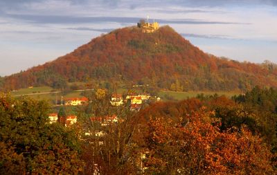
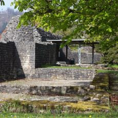
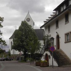
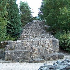
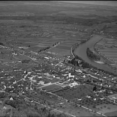
Küssaburg, Castle ruin in Bechtersbohl, Germany
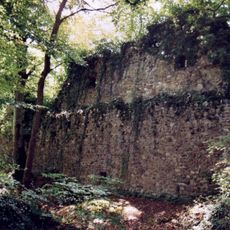
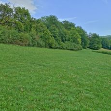
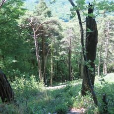
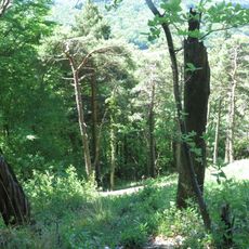
Küssaburg is a castle ruin in Bechtersbohl, perched on a hilltop at the edge of the southern Black Forest with open views toward the Rhine valley. The remains include standing wall sections, foundations, and parts of the outer ring that still outline the shape of the original medieval fortress.
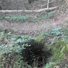
The castle was built in the first half of the 12th century and passed through several hands over the following centuries before its own garrison set it on fire in 1634 during the Thirty Years' War. The fire left the fortress in ruins, and it was never rebuilt.
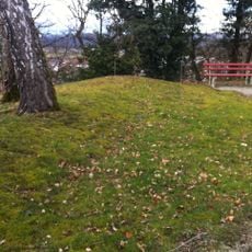
The name Küssaburg is sometimes linked to the German word for cushion, referring to the rounded shape of the hill on which it stands. Walking around the base of the ruins, you can see how the hilltop forms a gentle dome that makes this connection easy to imagine.
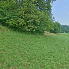
The ruins are reached by marked hiking trails from Bechtersbohl, and the climb is manageable for most visitors without special equipment. There are no entrance barriers, so the site can be visited at any time of day, though early mornings tend to be quieter.
A landslide on December 25, 1664, struck the already weakened remains and reshaped the site in a way that fire alone had not. Local documents record this event, making the ruins one of the few sites where both war and a natural event on a specific date can be traced in the stonework.
The community of curious travelers
AroundUs brings together thousands of curated places, local tips, and hidden gems, enriched daily by 60,000 contributors worldwide.