
Lohmühle, human settlement in Gunzenhausen, Germany
Location: Gunzenhausen
Elevation above the sea: 430 m
GPS coordinates: 49.09990,10.77430
Latest update: May 10, 2025 15:59
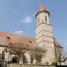
Saint Mary Church
2 km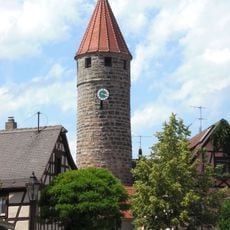
Färberturm
1.9 km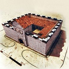
Kleinkastell Gunzenhausen Hinterer Schlossberg
1.9 km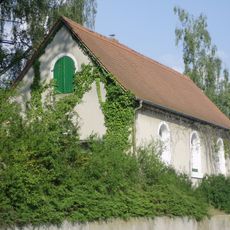
Jewish cemetery, Gunzenhausen
1.7 km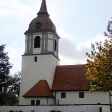
Saint Michael Church
1.1 km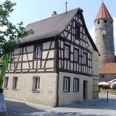
Weebers Eck
1.9 km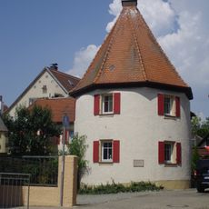
Storchenturm
1.9 km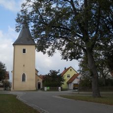
St. Wolfgang
1.2 km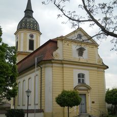
Markgrafenkirche zum Heiligen Kreuz
1.7 km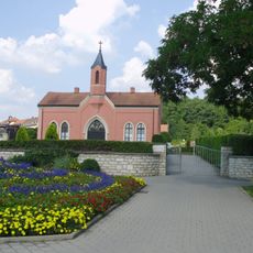
Friedhof, Friedhofswärterhaus
1.9 km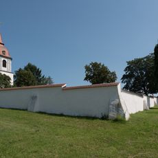
Friedhofsmauer Unterasbach 100 in Gunzenhausen
1.1 km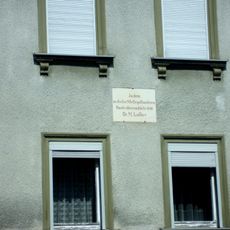
Gedenktafel an Luthers Aufenthalt 1518
1.8 km
Auweg 1
1.8 km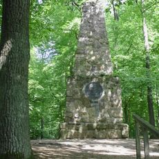
Bismarcksäule
1.9 km
Wohnhaus, Seelhaus von 1508 bis zum Abbruch im frühen 19. Jahrhundert
1.9 km
Kirchenstraße 14
1.9 km
Wohnhaus
1.8 km
Small residential building at Sonnenstrasse 19
1.9 km
Ehemaliges deutsches Schulhaus
1.9 km
Wohn- und Geschäftshaus
1.9 km
Wohnhaus
1.9 km
Wohn- und Geschäftshaus
1.8 km
Wohnhaus, wohl ehemaliges Gartenhaus
1.8 km
Scheune
1.9 km
Wohnhaus
1.9 km
Kirchenplatz 8
1.9 km
Auweg 7
1.8 km
Teile der Stadtmauer
1.9 kmReviews
Visited this place? Tap the stars to rate it and share your experience / photos with the community! Try now! You can cancel it anytime.
Discover hidden gems everywhere you go!
From secret cafés to breathtaking viewpoints, skip the crowded tourist spots and find places that match your style. Our app makes it easy with voice search, smart filtering, route optimization, and insider tips from travelers worldwide. Download now for the complete mobile experience.

A unique approach to discovering new places❞
— Le Figaro
All the places worth exploring❞
— France Info
A tailor-made excursion in just a few clicks❞
— 20 Minutes