
Oberfrauendorf, village in Germany
Location: Glashütte
Elevation above the sea: 478 m
GPS coordinates: 50.86194,13.70333
Latest update: May 23, 2025 14:56
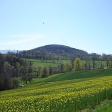
Luchberg
1.9 km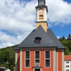
Holy Trinity Church
3.4 km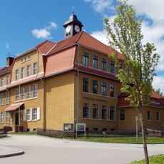
Schule (mit Dachreiter) und Turnhalle Lutherplatz 24c
3.4 km
Schule Dorfstraße 51
3 km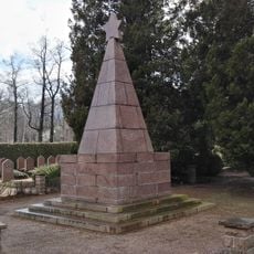
Sowjetischer Ehrenfriedhof
3.3 km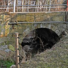
Bogenbrücke Alte Poststraße -
3.2 km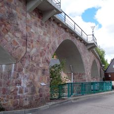
'''Viadukt Schmiedeberg und Bahnhof Schmiedeberg''' (Einzeldenkmale zu ID-Nr. 09301546) Alte Altenberger Straße 34b; 34c
3.5 km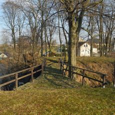
Wasserburg Luchau
2.4 km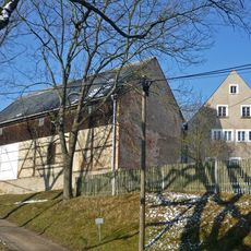
Wohnstallhaus und Scheune eines Zweiseithofes Schmiedeberger Straße 4
2.1 km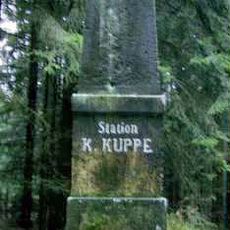
Station 60 Kohlkuppe
1.5 km
Gasthof Obercarsdorf Dorfstraße 14
2.6 km
Wohnstallhaus und zwei Seitengebäude eines Dreiseithofes, mit hölzerner Inschrifttafel Dorfstraße 3
2.5 km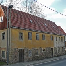
Wohnstallhaus Dorfstraße 6
2.4 km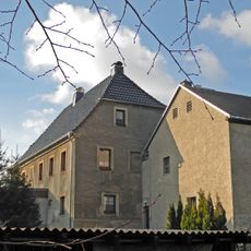
Wohnhaus und Sandsteinrelief Dorfstraße 10
2.3 km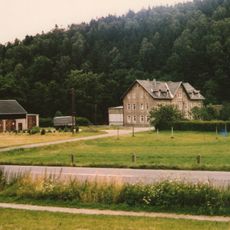
Klappermühle Obercarsdorf Dresdner Landstraße 131
2.8 km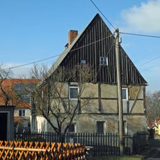
Wohnstallhaus Dorfstraße 21
2.4 km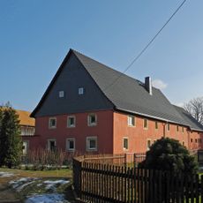
Wohnstallhaus, Seitengebäude sowie zwei Torpfosten und Sandsteintrog eines Dreiseithofes Dorfstraße 26
2.5 km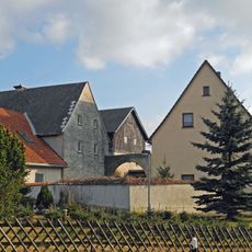
Sandstein-Torbogen mit Kämpfer und Schlussstein Dorfstraße 33
2.5 km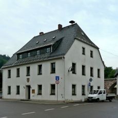
Gemeindeamt Pöbeltalstraße 1
3.5 km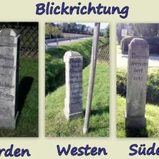
Wegestein Dresdner Landstraße 119 (gegenüber)
2.8 km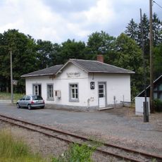
'''Haltepunkt Naundorf''' (Einzeldenkmal zu ID-Nr. 09301541) Tal Naundorf 28b
3.2 km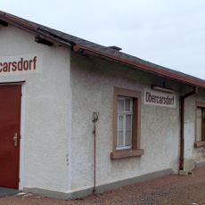
'''Haltepunkt Obercarsdorf''' mit Empfangsgebäude (Einzeldenkmal zu ID-Nr. 09301545) Dresdner Landstraße 87 (gegenüber)
2.7 km
Haltepunkt Schmiedeberg-Naundorf
3.2 km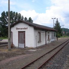
Bahnhof Obercarsdorf
2.7 km
Ehem. Pflug-Mühle; Hafermühle Dippoldiswalde Alte Altenberger Straße 57
3.4 km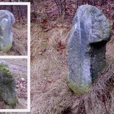
Steinkreuz Alte Obererzgebirgische Poststraße -
3.1 km
Schrifttafel im Giebel Dorfstraße 1
2.6 km
Wohnstallhaus mit zwei aufwändig gestalteten Portalen und zwei Seitengebäude eines Dreiseithofes Alte Poststraße 6; 6a
3.1 kmReviews
Visited this place? Tap the stars to rate it and share your experience / photos with the community! Try now! You can cancel it anytime.
Discover hidden gems everywhere you go!
From secret cafés to breathtaking viewpoints, skip the crowded tourist spots and find places that match your style. Our app makes it easy with voice search, smart filtering, route optimization, and insider tips from travelers worldwide. Download now for the complete mobile experience.

A unique approach to discovering new places❞
— Le Figaro
All the places worth exploring❞
— France Info
A tailor-made excursion in just a few clicks❞
— 20 Minutes