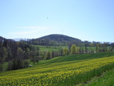
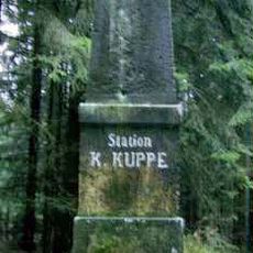
Luchberg, Mountain peak in Glashütte, Germany.
Luchberg is a mountain summit near Glashütte with an elevation of about 576 meters and volcanic stone beneath. Its surface is marked by dense forests and moss-covered boulders scattered across the slopes.
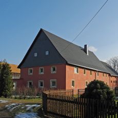
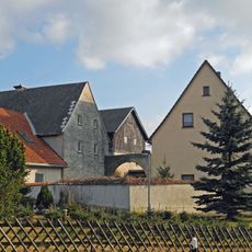
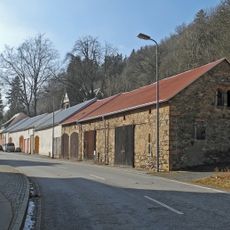
The Erzgebirge region around Luchberg became a major silver mining area during the late Middle Ages. This mining activity fundamentally reshaped the local landscape and communities.
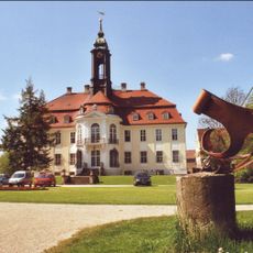
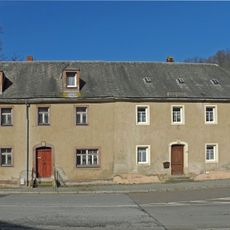
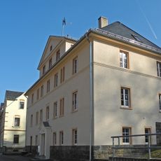
The mountain sits near Glashütte, a town famous since 1845 for its precision watchmaking craft. Visitors can experience this tradition in the local workshops and museums that showcase the skilled work.
Multiple marked trails lead to the summit, with the Bank loop from Luchau offering a route of about 5 kilometers with 110 meters of elevation gain. Sturdy footwear is advisable due to the mossy boulders and uneven ground.
A television and mobile communication tower stands at the forested summit, blocking the view despite the mountain's considerable height. This often surprises visitors expecting an open panorama from the peak.
Location: Glashütte
Elevation above the sea: 576.2 m
GPS coordinates: 50.86818,13.72913
Latest update: December 14, 2025 13:02
Schloss Reinhardtsgrimma
3.4 km
Church of Reinhardtsgrimma
3.3 km
Sachgesamtheit Friedhof Glashütte mit Friedhofsgestaltung (Gartendenkmale) und folgenden Einzeldenkmalen: Einfriedung, 10 Grabstätten, davon zwei Kriegerdenkmale und Monument für Hochwasseropfer 1927 (siehe auch Einzeldenkmaldokument - Obj. 092781
3.4 km
Bogenbrücke Alte Poststraße -
3 km
Cemetery in Glashütte
3.4 km
Wohnstallhaus Dorfstraße 6
593 m
Genossenschafts-Wohnhaus in offener Bebauung Lindenstraße 3
3.4 km
Wohnhaus in halboffener Bebauung Prießnitztalstraße 3
3.4 km
Wohnhaus und Sandsteinrelief Dorfstraße 10
584 m
Wasserburg Luchau
657 m
Wohnstallhaus Dorfstraße 21
760 m
Wohnstallhaus, Seitengebäude sowie zwei Torpfosten und Sandsteintrog eines Dreiseithofes Dorfstraße 26
888 m
Sandstein-Torbogen mit Kämpfer und Schlussstein Dorfstraße 33
727 m
Wohnstallhaus und Scheune eines Zweiseithofes Schmiedeberger Straße 4
1.1 km
Wohnhaus in halboffener Bebauung, Türstock mit Schlussstein Luchauer Straße 14
3.4 km
Wohnhaus in halboffener Bebauung, Türstock mit Schlussstein Luchauer Straße 12
3.4 km
Wohnstallhaus und zwei Seitengebäude eines Dreiseithofes, mit hölzerner Inschrifttafel Dorfstraße 3
564 m
Station 60 Kohlkuppe
3.3 km
Genossenschafts-Wohnhaus in offener Bebauung mit markantem neobarocken Portal Lindenstraße 9
3.3 km
Genossenschafts-Wohnhaus in offener Bebauung mit markantem neobarocken Portal Lindenstraße 6
3.3 km
Genossenschafts-Wohnhaus in offener Bebauung Lindenstraße 5
3.4 km
Gasthof und Sandstein-Torpfosten Grimmsche Hauptstraße 44
3.3 km
Wohnhaus in halboffener Bebauung Prießnitztalstraße 1
3.4 km
Schrifttafel im Giebel Dorfstraße 1
630 m
Genossenschafts-Wohnhaus in offener Bebauung Lindenstraße 4
3.4 km
Wohnstallhaus mit zwei aufwändig gestalteten Portalen und zwei Seitengebäude eines Dreiseithofes Alte Poststraße 6; 6a
3 km
Sechs Stadtscheunen Prießnitztalstraße 15a (neben)
3.3 km
Wohnhaus in offener Bebauung Prießnitztalstraße 10
3.3 kmVisited this place? Tap the stars to rate it and share your experience / photos with the community! Try now! You can cancel it anytime.
Discover hidden gems everywhere you go!
From secret cafés to breathtaking viewpoints, skip the crowded tourist spots and find places that match your style. Our app makes it easy with voice search, smart filtering, route optimization, and insider tips from travelers worldwide. Download now for the complete mobile experience.
A unique approach to discovering new places❞
— Le Figaro
All the places worth exploring❞
— France Info
A tailor-made excursion in just a few clicks❞
— 20 Minutes