
Bittenfeld, quarter of Waiblingen, Baden-Württemberg, Germany
Location: Waiblingen
Elevation above the sea: 245 m
GPS coordinates: 48.89070,9.31644
Latest update: March 23, 2025 12:34
Schloss Remseck
3.9 km
Lemberg
3.1 km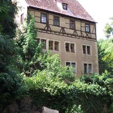
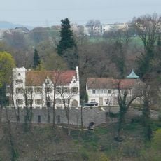
Schloss Hochberg
3.1 km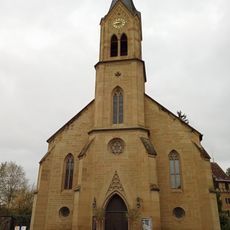
Schlosskirche Hochberg
3 km
Hegnacher Mühle
3.4 km
Schloss Hochdorf
1.7 km
Unteres Remstal
3.3 km
Unteres Remstal
3.4 km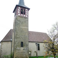
Martinskirche
3.6 km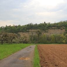
Unteres Remstal mit Randgebieten
3.8 km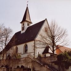
Erhartskirche
2.8 km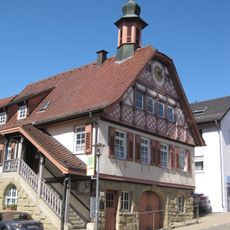
Altes Rathaus (Neckarrems)
3.8 km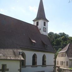
Michael-Sebastianskirche (Neckarrems)
3.8 km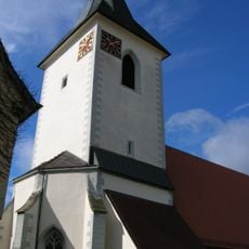
Mauritiuskirche
2.8 km
Lemberg und Umgebung
3.2 km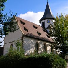
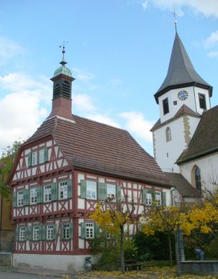
Ulrichskirche
43 m
Schloss Hochdorf
1.7 km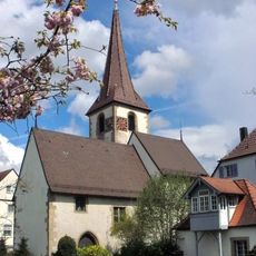
Martinskirche Remseck-Neckargröningen
3.5 km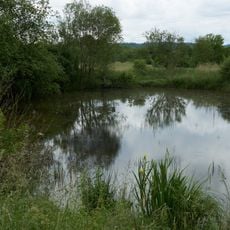
Kleiner Teich
3.2 km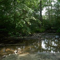
Auenwald mit Teichen zwischen Buchenbach und Mühlkanal
4.1 km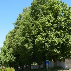
Lindenreihe Friedhof
4.3 km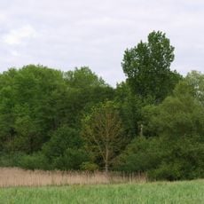
Teufelsbrunnen
4.2 km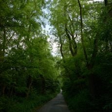
Gehölzbestandener Hohlweg
3.8 km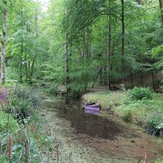
Unteres Remstal mit Randgebieten
3.7 km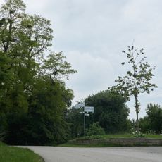
Erbach-Linde
3.6 km
Auenwaldrest
3.8 km
1 Winterlinde
3.6 km
Gehölzbestandener Hohlweg
2.5 kmReviews
Visited this place? Tap the stars to rate it and share your experience / photos with the community! Try now! You can cancel it anytime.
Discover hidden gems everywhere you go!
From secret cafés to breathtaking viewpoints, skip the crowded tourist spots and find places that match your style. Our app makes it easy with voice search, smart filtering, route optimization, and insider tips from travelers worldwide. Download now for the complete mobile experience.

A unique approach to discovering new places❞
— Le Figaro
All the places worth exploring❞
— France Info
A tailor-made excursion in just a few clicks❞
— 20 Minutes