Bernhartshöhe, Summit in Stuttgart-Vaihingen, Germany
Description
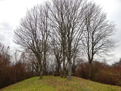
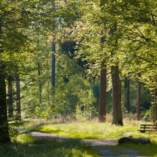
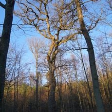
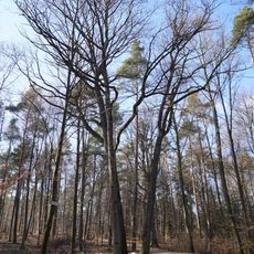
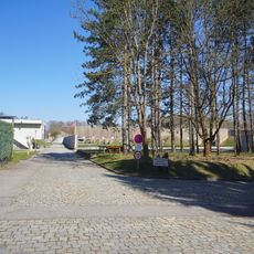
Bernhartshöhe is a hilltop in Stuttgart that rises to about 549 meters (1,801 feet). From the top, you can see far across the surrounding landscape, over the valleys, and toward the neighboring hills.
History
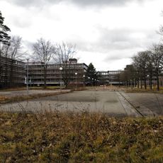
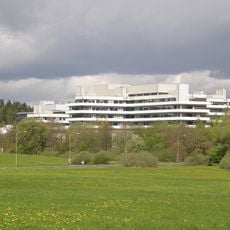
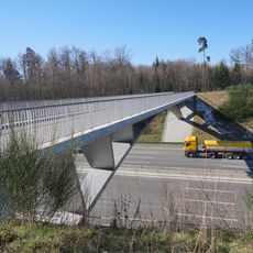
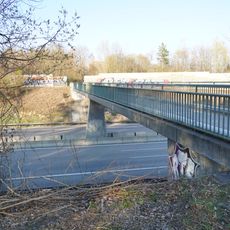
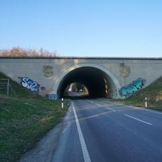
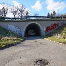
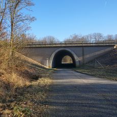
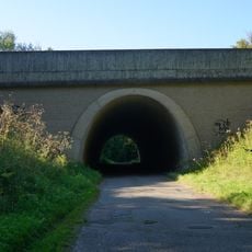
The hilltop influenced how the region developed infrastructure starting in the early 20th century, as it played a role in planning major traffic routes. Important highway lines were later built near it, showing how geography shaped regional growth.
Culture
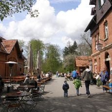
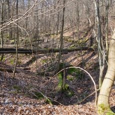
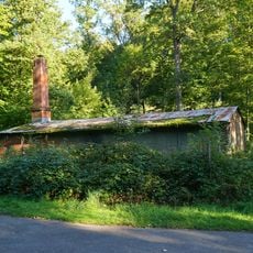
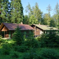
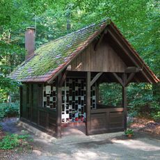
The summit is a popular meeting spot for Stuttgart locals who enjoy hiking and outdoor activities on their days off. People come regularly to spend time in nature and take in the views from above.
Practical
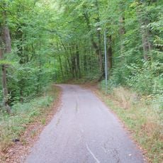
Several hiking trails lead up to the hilltop and are easy to access from different directions. Keep in mind that the A8 and A81 motorways run nearby, so the area can be noisy at times.
Did you know?
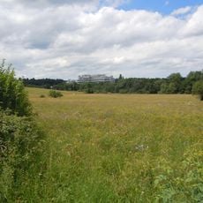
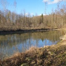
The hilltop sits within the Glemswald region and offers clear views across Stuttgart and the surrounding valleys. Many visitors overlook the fact that being near these major traffic routes gives you a unique perspective on how the landscape connects to the region's infrastructure.
AroundUs brings together thousands of curated places, local tips, and hidden gems, enriched daily by 60,000 contributors worldwide. Discover all places nearby (Stuttgart).
Eiermann campus
677 m
Katzenbacher Hof
1.8 km
Vodafone-Funkturm Stuttgart-Vaihingen
1 km
Büsnauer Wiesental
2.4 km
Glemswald und Stuttgarter Bucht
2.2 km
Library of the Max Planck Institutes in Stuttgart
2.3 km
Gedenkstätte Taufstein der Hospitalkirche
1.6 km
Dicke Eiche im Mietholz
1.5 km
Eiche im Hochberg
2 km
3 Eichen im Eichgern
2.6 km
Glemswald
2.1 km
Mietholz
2.4 km
Hexenhaus Sindelfingen
1.1 km
Kampfmittelbeseitigungsdienst Baden-Württemberg
2.2 km
Ochsenwaldeiche
1.5 km
Brücke Rotsteigelesweg
2.2 km
Brücke Römerstraße über die A8
2.1 km
Autobahnbrücke der A8 über die K1055
883 m
Brücke Autobahn 81 über Hinterlinger Weg
2.4 km
Brücke Autobahn 81 über Herzogallee II
1.4 km
Forsthof Sindelfingen
2.1 km
Forchenzwilling im Hochberg
1.4 km
Eiche im Hochberg
1.9 km
Brücke Autobahn 81 über das Waldheimsträßle
903 m
Feuchtbiotop am Diebskarrenbach
1.9 km
Brücke Alte Vaihinger Straße über die A8/A81
695 m
Bernet-Kapelle
844 m
Standortschießanlange im Bernet
1 kmDiscover hidden gems everywhere you go!
From secret cafés to breathtaking viewpoints, skip the crowded tourist spots and find places that match your style. Our app makes it easy with voice search, smart filtering, route optimization, and insider tips from travelers worldwide. Download now for the complete mobile experience.
A unique approach to discovering new places❞
— Le Figaro
All the places worth exploring❞
— France Info
A tailor-made excursion in just a few clicks❞
— 20 Minutes