
Rothenbucher Forst, unincorporated area in Germany
Location: Aschaffenburg
Shares border with: Neuhütten, Forst Lohrerstraße, Rothenbuch, Rohrbrunner Forst, Weibersbrunn, Waldaschaffer Forst, Forst Hain im Spessart
GPS coordinates: 49.97820,9.41854
Latest update: April 4, 2025 17:23
Kauppenbrücke
8.4 km
Naturwaldreservat Eichhall
7.2 km
Auenwald bei Erlenfurt
5.7 km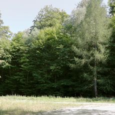
Naturwaldreservat Hoher Knuck
6.3 km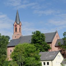
Pfarrkirche
1.8 km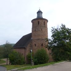
Pfarrkirche
2.6 km
Pfarrkirche
6.4 km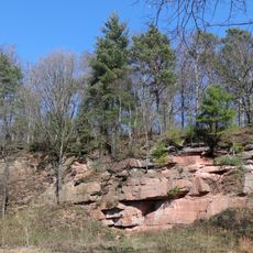
Sandsteinbruch am Parkplatz Wodianka SW von Heigenbrücken
6 km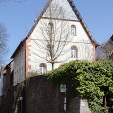
Schlosskapelle
1.9 km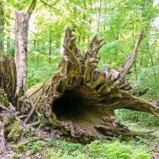
Metzgergraben - Krone
5.4 km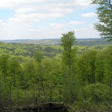
Hafenlohrtal
4.4 km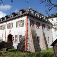
Schloß
1.9 km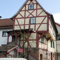
Fachwerkhaus
2.1 km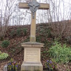
Kruzifix
7.4 km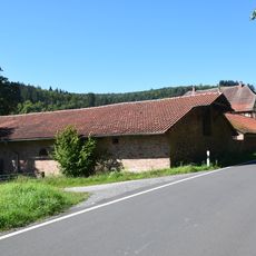
Scheune Erlenfurt 1 in Rothenbuch
5.7 km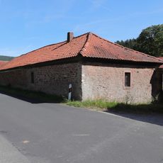
Stall Erlenfurt 1 in Rothenbuch
5.7 km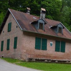
Forsthaus
7.9 km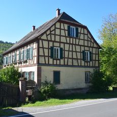
Forsthaus
5.7 km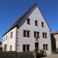
Forstamt
2 km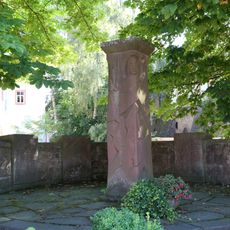
Kriegerdenkmal
1.9 km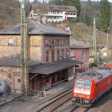
Empfangsgebäude
6.7 km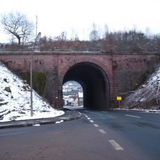
Straßentunnel
7.5 km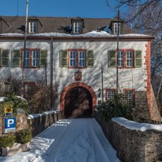
Brücke Nähe Schloßplatz in Rothenbuch
1.9 km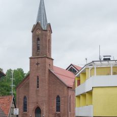
Pfarrkirche
6.4 km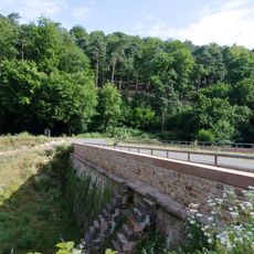
Triftsee-Staudamm
6.6 km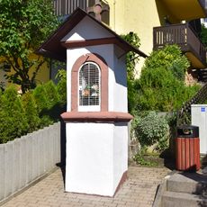
Bildstock in Weibersbrunn
6.6 km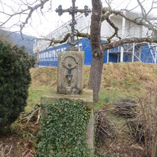
Bildstock
7.3 km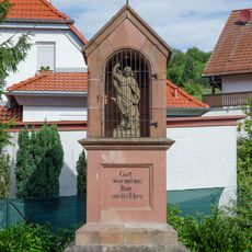
Kriegerdenkmal
8.2 kmReviews
Visited this place? Tap the stars to rate it and share your experience / photos with the community! Try now! You can cancel it anytime.
Discover hidden gems everywhere you go!
From secret cafés to breathtaking viewpoints, skip the crowded tourist spots and find places that match your style. Our app makes it easy with voice search, smart filtering, route optimization, and insider tips from travelers worldwide. Download now for the complete mobile experience.

A unique approach to discovering new places❞
— Le Figaro
All the places worth exploring❞
— France Info
A tailor-made excursion in just a few clicks❞
— 20 Minutes