Bumannsburg, Medieval archaeological site in Rünthe, Bergkamen, Germany.
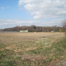
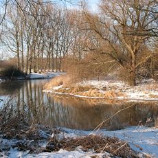
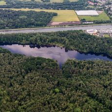
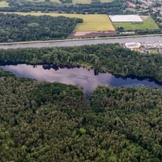
Bumannsburg is a two-part ring-wall fortification on the southern bank of the Lippe in Bergkamen-Rünthe. Its roughly rectangular core work, about 120 by 80 metres, survives as a three-metre-high earthen rampart on the east side. The larger outer bailey, around 4.9 hectares, had a main rampart, two forward ramparts and ditches; two wells were uncovered there in 1898.
The Bumannsburg is a Carolingian-Ottonian rampart site of about five hectares, probably originating in Charlemagne's Saxon Wars (772–802). It is named after a farmstead that stood inside the walls until 1847. Excavations in 1898 under Carl Schuchhardt and in 1978 uncovered two wells and a well-preserved wooden box structure beneath a rampart. Pottery finds include Pingsdorf ware from around 900 and Kugeltopf sherds from the 10th to 12th centuries. In the 13th century it served as a refuge fort, and it was entered in Bergkamen's monument list on 5 July 1990.
The name comes from a farmstead that stood inside the ramparts until 1847; the site is recorded in no written source. Excavations in 1898 and 1978 uncovered two wells and a well-preserved wooden box structure beneath a rampart. Pottery found here includes Pingsdorf ware from around 900 and globular pots of the 10th to 12th centuries.
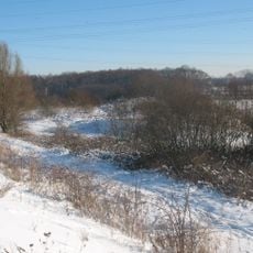
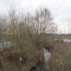
The site is freely accessible and can be viewed from outside, with some earthworks and ditches still clearly visible. The city of Bergkamen provides information and guidance for visitors who want to learn more about the excavations and discoveries.
Pollen studies from 2006 revealed how the landscape vegetation changed through three distinct phases over a thousand years. These botanical traces are invisible today but reveal how much the area surrounding the fortress transformed over time.
The community of curious travelers
AroundUs brings together thousands of curated places, local tips, and hidden gems, enriched daily by 93,638 contributors worldwide.