Burg Mömbris, Medieval castle ruins in Mömbris, Germany
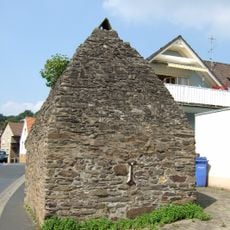
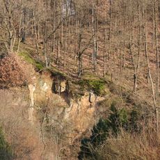
Burg Mömbris is a castle ruin in Mömbris that once stood on a hilltop above the Kahl River with a central tower and encircling defensive walls. The visible foundation stones today mark where this medieval fortification once extended.
The fortress was built around 1300 by the Counts of Rieneck and served as a strategic control point for the valley. It was destroyed in 1405 by Frankfurt soldiers.
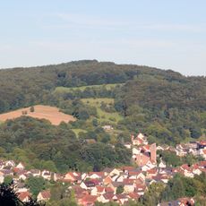
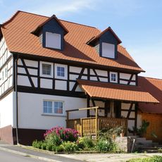
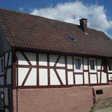
The settlement developed around this fortress, which shaped the community's identity and importance in the region for centuries. Locals still recognize the ruins as a defining landmark of their heritage.
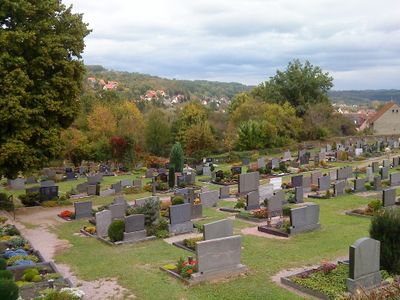
The ruins lie between the old cemetery and school in Mömbris and are easily reachable on foot. The hilltop is always accessible and offers a good view of the foundation walls from above.
Excavations in 2019 revealed three distinct settlement phases, including a wooden fortress from the 1250s before the stone structure was built. Later cemetery expansion work uncovered sections of the original moat.
The community of curious travelers
AroundUs brings together thousands of curated places, local tips, and hidden gems, enriched daily by 60,000 contributors worldwide.