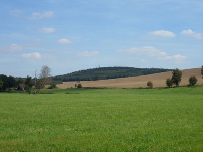
Butterberg, Mountain summit in Bischofswerda, Germany.
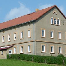
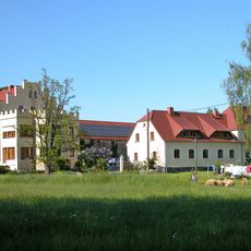
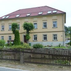
Butterberg is a mountain summit near Bischofswerda in eastern Saxony. Walking paths wind through the forested slopes, making it accessible to visitors exploring the local landscape.
The mountain was officially documented in regional records during the 1860s. This recognition established it as an important geographical reference point in the local landscape.
Local residents maintain walking paths around Butterberg, preserving the natural environment for outdoor recreation and community gatherings.
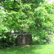
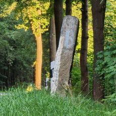
Several marked hiking routes lead to the summit, offering options for visitors of varying experience levels. The woodland paths are easily accessible and suitable for casual to moderate walks.
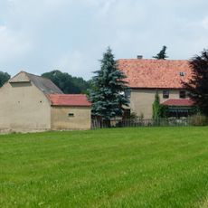
The summit rises noticeably above the surrounding flat terrain, creating a natural vantage point overlooking the region. From the top, visitors can see across the wider Saxon landscape and nearby settlements.
Location: Bischofswerda
Inception: 1860
Elevation above the sea: 384.1 m
Address: Butterberg 1
GPS coordinates: 51.15575,14.18379
Latest update: December 12, 2025 14:25
Gasthaus zum Goldenen Löwen Bischofswerda
2 km
Kulturhaus Bischofswerda
2.8 km
Kirche Pohla
2.6 km
Aussichtsturm Butterberg
33 m
Wohnstallhaus Hauptstraße 38
1.3 km
Wohnstallhaus Hauptstraße 6
1.8 km
Rittergut und Gutspark Pohla (Sachgesamtheit) Schönbrunner Straße 9, 11, 15, 17
2.7 km
Wohnstallhaus mit angebauter Scheune Geißmannsdorfer Straße 74
1.7 km
Schule an der Kirchstraße
2.8 km
Eisenbahnbrücke auf der Strecke Dresden–Görlitz Burkauer Straße
1.1 km
Denkmal für die Gefallenen des Ersten Weltkrieges Geißmannsdorfer Straße 17 (bei)
1.6 km
Mittelgasthof mit anschließendem Tanzsaal und Vorplatz, ohne hinten anschließenden Wirtschaftshof (3 Seiten) Hauptstraße 99
2.4 km
Wohnstallhaus Geißmannsdorfer Straße 46
1.7 km
Wohnstallhaus und nördliche Scheune eines Dreiseithofes Geißmannsdorfer Straße 50
1.7 km
Rittergut Oberburkau
2.5 km
Wohnhaus, ehemalige Alte Schule Geißmannsdorfer Straße 56
1.6 km
Geißmannsdorfer Straße 66
1.6 km
Wohnhaus eines ehemaligen Vierseithofes Hauptstraße 82
1.8 km
Parkanlage mit erhaltener Wegeführung, Teich, Gehölzbestand und Gedenkstein (Goethepark) Bautzener Straße
2.7 km
Wegesäule Burkauer Straße
654 m
Schloss Pohla
2.7 km
Wohnhaus eines Bauernhofes Geißmannsdorfer Straße 79
1.2 km
Straße der Jugend 2, 2a, 2b
2.1 km
Ehemaliger Gasthof Hauptstraße 44
1.4 km
Gasthof mit Saalanbau und Linde (Erblehngericht) Geißmannsdorfer Straße 54
1.6 km
Herrenhaus (Einzeldenkmal zu ID-Nr. 09304121) Hauptstraße 64
2.5 km
Linker Teil eines Bauernhauses Geißmannsdorfer Straße 22
1.7 km
Empfangsgebäude des Bahnhofs Burkau (Alter Bahnhof), heute Wohnhaus Straße der Jugend 7
2 kmVisited this place? Tap the stars to rate it and share your experience / photos with the community! Try now! You can cancel it anytime.
Discover hidden gems everywhere you go!
From secret cafés to breathtaking viewpoints, skip the crowded tourist spots and find places that match your style. Our app makes it easy with voice search, smart filtering, route optimization, and insider tips from travelers worldwide. Download now for the complete mobile experience.
A unique approach to discovering new places❞
— Le Figaro
All the places worth exploring❞
— France Info
A tailor-made excursion in just a few clicks❞
— 20 Minutes