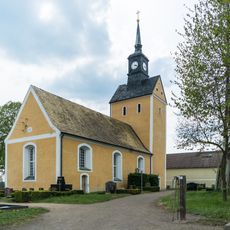
Collmberg, Summit in Wermsdorf, Nordsachsen, Germany
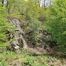
Collmberg is a summit near Wermsdorf in Nordsachsen with an elevation of 312 meters, featuring ancient Greywacke rocks from the Ordovician period at its core. These rocks are visible in exposed sections around the mountain and offer insight into the oldest geological layers of the region.
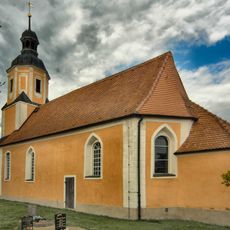
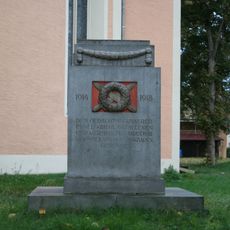
A medieval hill fort was built between 900 and 930 on the summit, creating a fortified place at this strategically important height. This structure was part of early medieval power consolidation in the region.
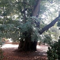
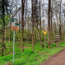
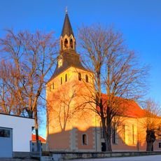
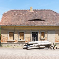
The location was long connected with the hunting traditions of Saxon princes, and traces of this past remain visible in its landscape. The surrounding forests still carry the marks of this noble use today.
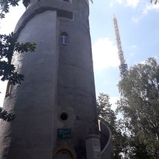
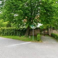
The Albert Tower, built in 1854, leads up 99 steps to an observation platform with views in several directions. The site is accessible via a light to moderate climb from the valley below.
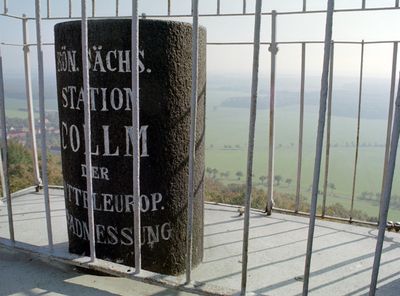
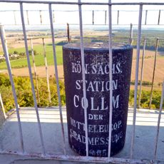
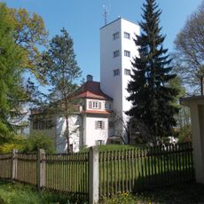
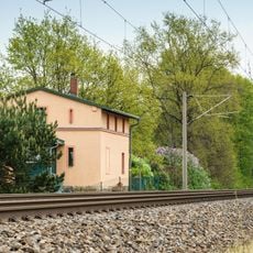
The Geophysical Observatory of Leipzig University was established here between 1927 and 1932 and continues to record seismic activity and atmospheric measurements today. This research station is one of the reasons why measurements taken at this location hold special importance for geosciences.
GPS coordinates: 51.30363,13.01064
Latest update: December 10, 2025 16:23
Linden of court Collm
563 m
Kirche Collm
553 m
An der Klosterwiese
4 km
Wermsdorfer Forst
4 km
Bachdurchlass unter der Eisenbahn (Brücke) Großböhla
3.8 km
Herrenhaus Striesa
3.9 km
Windmühle Collm
1 km
Kirche Calbitz
2.7 km
Kirche mit Ausstattung, Kirchhof mit Einfriedungsmauer, Denkmal für die Gefallenen des Ersten Weltkrieges, vier Grabmale und Gerichtslinde (Gartendenkmal) Kirchberg -
524 m
Station 18 Collm
20 m
Kirche Lampersdorf
3 km
Albertturm (Collmberg)
18 m
Kirche Malkwitz
3.5 km
Durchlass des Mühlgrabens unter der Eisenbahn Großböhla
3.9 km
Eisenbahnbrücke Großböhla
4 km
Steinbruch Lampersdorf
2.8 km
Graywacke rock near Collmberg
681 m
Wohnhaus Markt 2
2.7 km
Waldgebiet an der Klosterwiese
4 km
Denkmal für die Gefallenen des Ersten Weltkrieges Am Kirchberg -
3 km
Gasthof mit Saalanbau Kirchberg 1
514 m
Collm Grenzsteine
557 m
Geophysikalisches Observatorium Collm der Universität Leipzig Collm Bayreuther Weg 1
817 m
Sachgesamtheit Kirche und Kirchhof Calbitz, mit folgenden Einzeldenkmalen: Kirche (mit Ausstattung), Kirchhof (Gartendenkmal), Kirchhofseinfriedung, ein Grabmal und Denkmal für die Gefallenen des Ersten Weltkrieges (siehe Einzeldenkmalliste - Obj. 0
2.7 km
Querstraße 4
4 km
Bahnwärterhaus Großböhla
3.9 km
Freigut Striesa
4 km
Hangar einer ehemaligen Kaserne Otto-Lilienthal-Straße 23 (neben)
3.6 kmVisited this place? Tap the stars to rate it and share your experience / photos with the community! Try now! You can cancel it anytime.
Discover hidden gems everywhere you go!
From secret cafés to breathtaking viewpoints, skip the crowded tourist spots and find places that match your style. Our app makes it easy with voice search, smart filtering, route optimization, and insider tips from travelers worldwide. Download now for the complete mobile experience.
A unique approach to discovering new places❞
— Le Figaro
All the places worth exploring❞
— France Info
A tailor-made excursion in just a few clicks❞
— 20 Minutes