
Derichsweiler, human settlement in Germany
Location: Düren
Elevation above the sea: 132 m
GPS coordinates: 50.79810,6.42889
Latest update: April 30, 2025 04:52
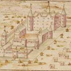
Burg Gürzenich
1.5 km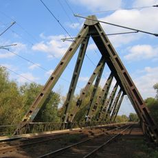
Dreigurtbrücke
2.7 km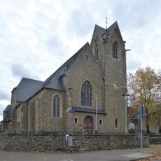
St Martin's Church
673 m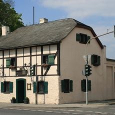
Breuer’s Häuschen
2.2 km
Treibstofflager Konzendorf
1.9 km
Weiherhof
1.5 km
Saint John the Evangelist Church
1.5 km
Church ruin
245 m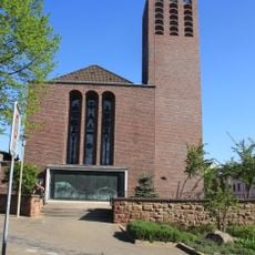
St. Nikolaus
2.6 km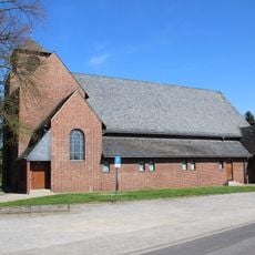
St. Martinus D’horn
1.9 km
Gürzenich Jewish cemetery
1.4 km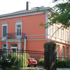
Villa Pytlik
2.5 km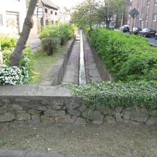
Trierbach
1.3 km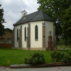
Saint Pancratius Chapel
1.6 km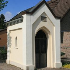
Urbanuskapelle
664 m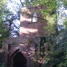
Mona-Lisa tower
1.8 km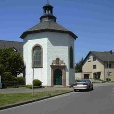
Katholische Kapelle
1.4 km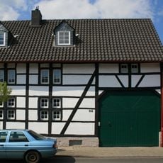
Agathastraße 92
318 m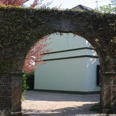
Torbogen Kloster Nazareth
2.3 km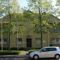
Ehemaliges Bürgermeisteramt
2.3 km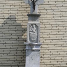
Johanneskreuz
2.2 km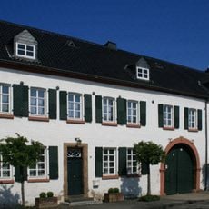
Schillingsstraße 52 und 54
1.4 km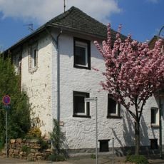
Agathastraße 40
35 m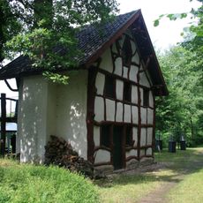
Fischerhäuschen im Schillingspark
1.9 km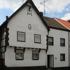
Dampfmühlenstraße 101 (Derichsweiler)
325 m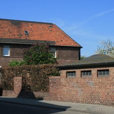
Rheinstraße 1
2.4 km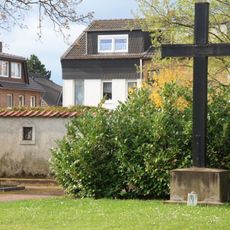
Friedhofskreuz und Kreuzwegstationen (Rölsdorf)
2.8 km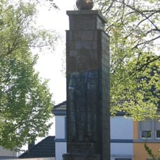
Christ-Königs-Denkmal
1.9 kmVisited this place? Tap the stars to rate it and share your experience / photos with the community! Try now! You can cancel it anytime.
Discover hidden gems everywhere you go!
From secret cafés to breathtaking viewpoints, skip the crowded tourist spots and find places that match your style. Our app makes it easy with voice search, smart filtering, route optimization, and insider tips from travelers worldwide. Download now for the complete mobile experience.

A unique approach to discovering new places❞
— Le Figaro
All the places worth exploring❞
— France Info
A tailor-made excursion in just a few clicks❞
— 20 Minutes