
Dürrwangen, suburb
Location: Balingen
Elevation above the sea: 575 m
GPS coordinates: 48.24030,8.88806
Latest update: March 25, 2025 07:53

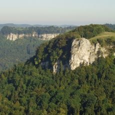
Lochen
3.7 km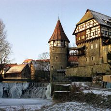
Zollernschloss
4.4 km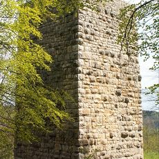
Schalksburg
2.5 km
Burg Hirschberg
2.6 km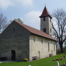
St.-Michaelskirche
3.3 km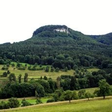
Gräbelesberg
4 km
Burg Gräbelesberg
4.1 km
Ruine Wenzelstein
4.3 km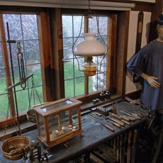
Waagenmuseum Balingen
4.3 km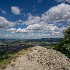
Schafberg-Lochenstein
4.5 km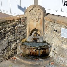
Schwefelbrunnen
4.3 km
Zehntscheune
4.4 km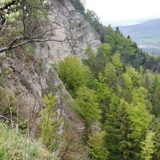
Untereck
2.9 km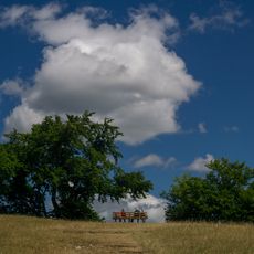
Hülenbuchwiesen
2.6 km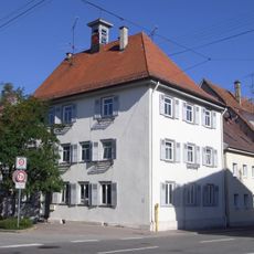
Spital (Balingen)
4.3 km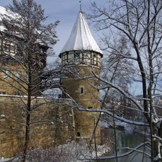
Stadtbefestigung Balingen
4.4 km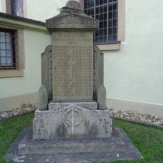
Gefallenendenkmal
3.1 km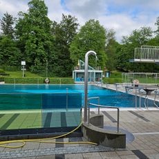
Freibad
4.1 km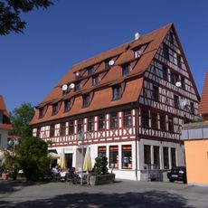
Viehmarktplatz 8
4.4 km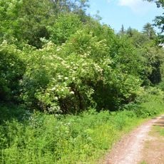
Hecken unter Winkelshalde
1.4 km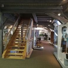
Zehntscheuer Balingen
4.4 km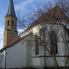
Sankt Blasius
3.9 km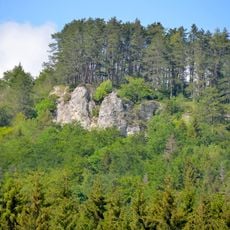
Wenzelstein
4.4 km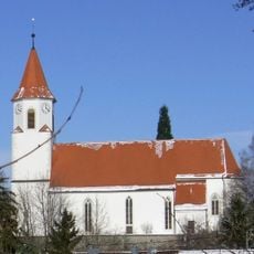
St. Gallus
1.4 km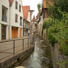
Stadtbefestigung Balingen
4.4 km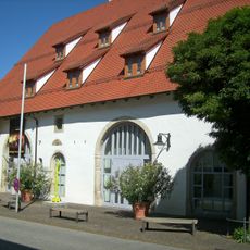
Heimatmuseum Balingen
4.4 km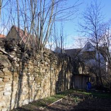
Stadtbefestigung Balingen (Am Rappenturm 3)
4.5 km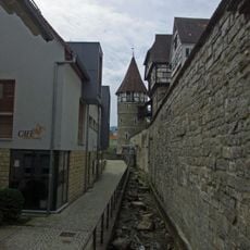
Stadtbefestigung Balingen (Neue Straße 59)
4.4 kmReviews
Visited this place? Tap the stars to rate it and share your experience / photos with the community! Try now! You can cancel it anytime.
Discover hidden gems everywhere you go!
From secret cafés to breathtaking viewpoints, skip the crowded tourist spots and find places that match your style. Our app makes it easy with voice search, smart filtering, route optimization, and insider tips from travelers worldwide. Download now for the complete mobile experience.

A unique approach to discovering new places❞
— Le Figaro
All the places worth exploring❞
— France Info
A tailor-made excursion in just a few clicks❞
— 20 Minutes