
Ruppertshain, municipal district of Kelkheim (Taunus), Germany
Location: Kelkheim
Elevation above the sea: 360 m
GPS coordinates: 50.17389,8.40083
Latest update: March 3, 2025 09:47

Hofgut Retters in Kelkheim
2.2 km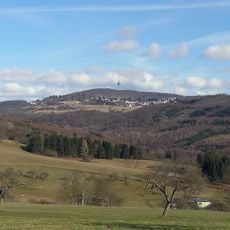
Atzelberg
921 m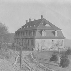
Villa Hochschild
1.2 km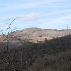
Rossert
1.1 km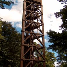
Atzelberg Tower
920 m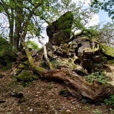
Rossert - Hainkopf - Dachsbau
1.6 km
Krebsbachtal bei Ruppertshain
1.1 km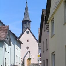
St. Michael
2.3 km
St. Joseph
775 m
Ehemaliges Landschulheim
717 m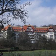
Sachgesamtheit Ehemalige Gerhard-Domagk-Klinik
472 m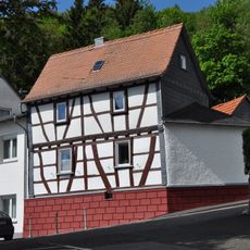
Ehlhaltener Straße 24
856 m
Ehlhaltener Straße 23
809 m
Robert-Koch-Straße 68
47 m
Schloßborner Straße 14-16
967 m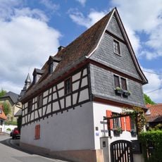
Ehlhaltener Straße 25 und 27
835 m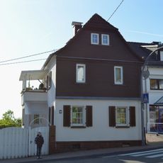
Robert-Koch-Straße 66
72 m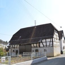
Am Brühl 1
2.3 km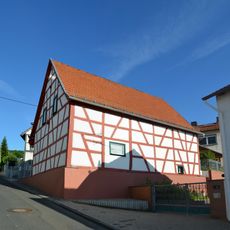
Scheune
43 m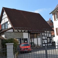
Scheune
2.3 km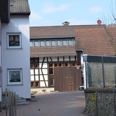
Langstraße 2
2.3 km
Sackgasse 6
868 m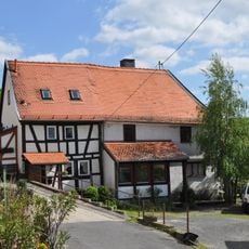
Sackgasse 5
856 m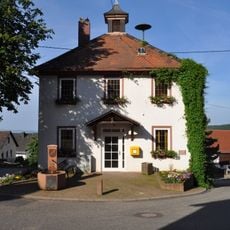
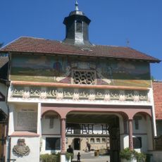
Ehemaliges Rathaus
877 m
Friedhof, Friedhofskreuz
707 m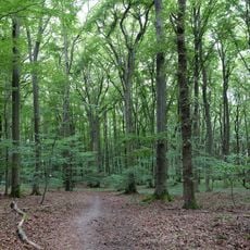
Rossert-Hainkopf-Dachsbau
1.4 km
Krebsbachtal bei Ruppertshain
1.4 km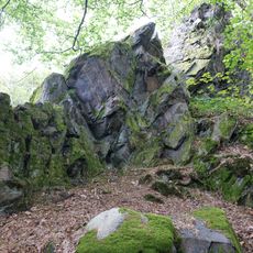
Dachsbau Taunus
1.5 kmReviews
Visited this place? Tap the stars to rate it and share your experience / photos with the community! Try now! You can cancel it anytime.
Discover hidden gems everywhere you go!
From secret cafés to breathtaking viewpoints, skip the crowded tourist spots and find places that match your style. Our app makes it easy with voice search, smart filtering, route optimization, and insider tips from travelers worldwide. Download now for the complete mobile experience.

A unique approach to discovering new places❞
— Le Figaro
All the places worth exploring❞
— France Info
A tailor-made excursion in just a few clicks❞
— 20 Minutes