
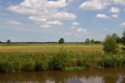
Kladdinger Wiesen, nature reserve in Lower Saxony, Germany
Location: Stuhr
Inception: 1996
GPS coordinates: 53.03530,8.76833
Latest update: March 8, 2025 05:22
Koch & Bergfeld
3.3 km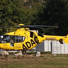
Christoph 6
3.2 km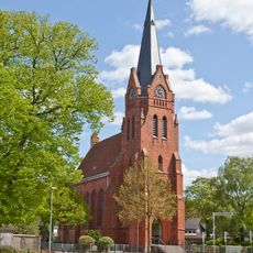
St. Georg, Bremen
2.5 km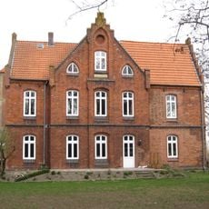
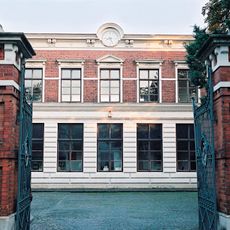
Altes Pfarrhaus
2.6 km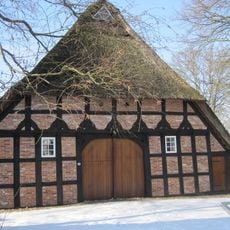
Haus Lohmann
2.7 km
St.-Lukas-Kirche
3 km
Altes Spritzenhaus
2.7 km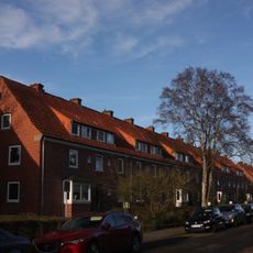
Siedlung Focke-Wulf-Flugzeugbau
3.5 km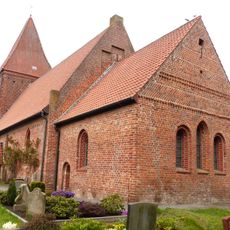
St. Pankratius (Stuhr)
1.4 km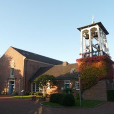
Saint Mark Church
3.7 km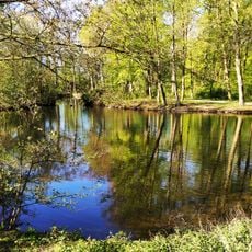
Wolfskuhlenpark
3.1 km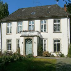
Poppes Landhaus
3.6 km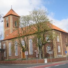
Zum Heiligen Kreuz
2.6 km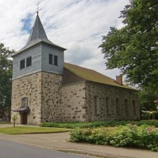
Heilig-Kreuz-Kirche
2.6 km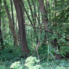
Vogelschutzgehölz Sodenmatt
3.7 km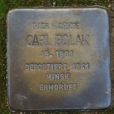
Stolperstein dedicated to Carl Polak
3.7 km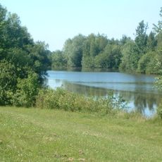
Bremische Ochtum
2.6 km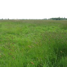
Binnensalzstelle Rethriehen
1.5 km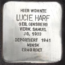
Stolperstein dedicated to Lucie Harf
3.6 km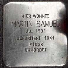
Stolperstein dedicated to Martin Samuel
3.6 km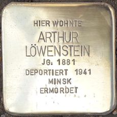
Stolperstein dedicated to Arthur Löwenstein
3.7 km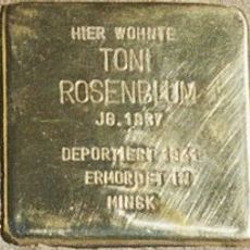
Stolperstein dedicated to Toni Rosenblum
3.6 km
Stolperstein dedicated to Irmgard Rosenblum
3.6 km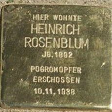
Stolperstein dedicated to Heinrich Rosenblum
3.6 km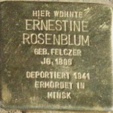
Stolperstein dedicated to Ernestine Rosenblum
3.6 km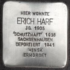
Stolperstein dedicated to Erich Harf
3.6 km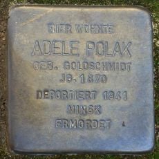
Stolperstein dedicated to Adele Polak
3.7 km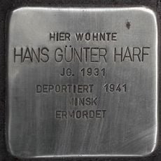
Stolperstein dedicated to Hans Günter Harf
3.6 kmReviews
Visited this place? Tap the stars to rate it and share your experience / photos with the community! Try now! You can cancel it anytime.
Discover hidden gems everywhere you go!
From secret cafés to breathtaking viewpoints, skip the crowded tourist spots and find places that match your style. Our app makes it easy with voice search, smart filtering, route optimization, and insider tips from travelers worldwide. Download now for the complete mobile experience.

A unique approach to discovering new places❞
— Le Figaro
All the places worth exploring❞
— France Info
A tailor-made excursion in just a few clicks❞
— 20 Minutes