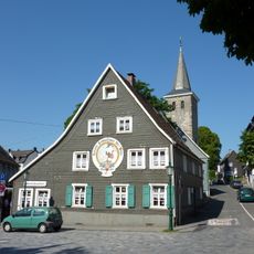
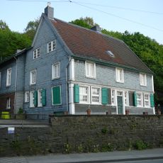
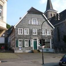
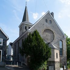
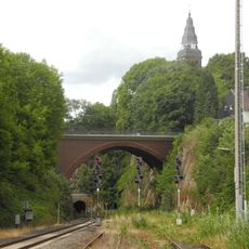
Ehrenberg, Mountain ridge in Wuppertal, North Rhine-Westphalia, Germany
Ehrenberg is a mountain summit in the Rhineland Slate Mountains with a height of approximately 345 meters. The peak displays steep slopes and rock formations that are characteristic of this mountain region.
The name Ehrenberg derives from the Mehrenberger Mark forest, whose short form Im Mehrenberg became Im Ehrenberg. In the early Middle Ages this was part of a border forest between Saxon and Frankish settlement areas. By 1324 the area belonged to the Counts of the Mark, while the Wupper below formed the border with the Duchy of Berg. In 1929 the Ehrenberg came to Wuppertal, shifting the Rhineland-Westphalia border from the river to the ridge.
The name Ehrenberg derives from the Mehrenberger Mark forest; its short form "Im Mehrenberg" was slurred into "Im Ehrenberg". The Mehrenberger Markenrolle, a register of the peasants' use and property rights, was kept in the hamlet of Weuste near Beyenburg, where disputes were also heard. A dairy farm with its own farm cheese-making and farm shop stands on the plateau.
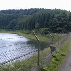
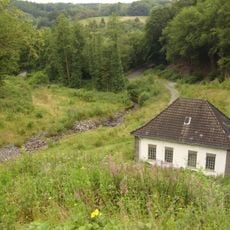
The A1 motorway runs along the western slope, and the southern slopes are bounded by the Wupper, which lies at 160 to 183 m. The ridge top is comparatively flat, with farm tracks between scattered farmsteads and meadows. A wildlife enclosure lies to the south. The state border between Rhineland and Westphalia runs over the ridge.
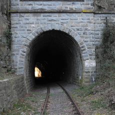
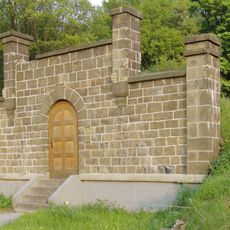
The ridge carries the boundary between the Rhineland and Westphalia, moved here in 1929 when Langerfeld was incorporated into Barmen. Until then the Wupper below marked that line. Old water-supply tunnels from Schwelm survive in the hillside, and a deer enclosure lies to the south.
The community of curious travelers
AroundUs brings together thousands of curated places, local tips, and hidden gems, enriched daily by 94,447 contributors worldwide.